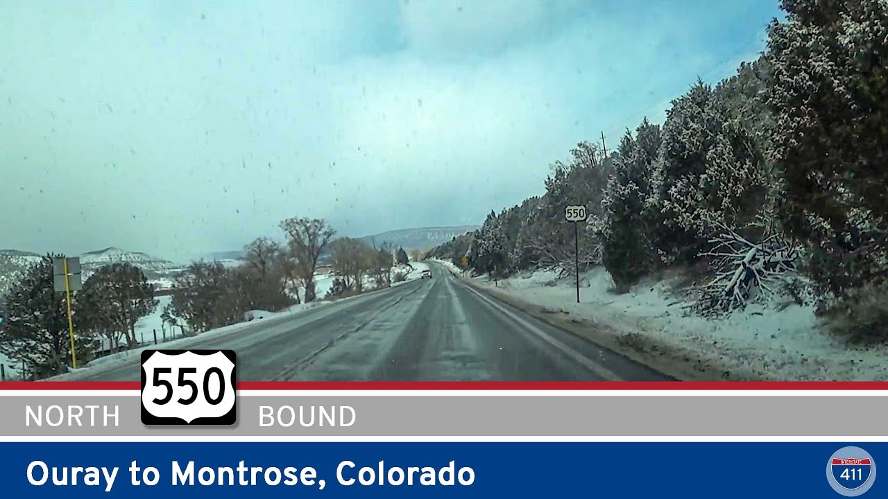
Cruise 34 miles north along U.S. Highway 550 from Ouray to Montrose, Colorado, passing through scenic mountain canyons, Ridgway State Park, and wide ranching valleys on this classic Western Slope route.
U.S. Route 550 (US 550) is a north–south spur of U.S. Route 50 that travels through the rugged terrain of New Mexico and Colorado, offering breathtaking mountain vistas and a taste of Old West history. The highway spans approximately 305 miles, beginning in Bernalillo, New Mexico (just north of Albuquerque), and ending in Montrose, Colorado. It is particularly famous for the scenic “Million Dollar Highway” segment through the San Juan Mountains, which is often considered one of the most spectacular drives in the United States.
In New Mexico, US 550 begins as a four-lane divided highway serving as a vital link between the Albuquerque metro area and the northwest corner of the state. It passes through towns like Cuba, Bloomfield, and Aztec, providing access to Native American lands and oil and gas regions.
Upon entering Colorado near Durango, the route becomes significantly more mountainous and dramatic. The portion from Durango to Ouray—known as the Million Dollar Highway—is a winding, narrow, and shoulderless roadway carved into steep cliffs with sharp drops and no guardrails. This stretch is renowned not only for its stunning alpine views but also for its challenging driving conditions, particularly in winter.
From Ouray, the road continues through Ridgway and into the high desert landscape surrounding Montrose, where US 550 terminates at an intersection with US 50.
Million Dollar Highway (Ouray to Silverton): Famous for its scenic danger, this portion includes Red Mountain Pass (11,018 feet elevation).
Durango & Silverton Narrow Gauge Railroad: A historic rail line that parallels the highway between Durango and Silverton.
San Juan Skyway: US 550 forms a critical part of this National Scenic Byway loop through southwestern Colorado.
Historic Mining Towns: Silverton and Ouray preserve their 19th-century charm with wooden boardwalks and historic architecture.
Cruise 34 miles north along U.S. Highway 550 from Ouray to Montrose, Colorado, passing through scenic mountain canyons, Ridgway State Park, and wide ranching valleys on this classic Western Slope route.
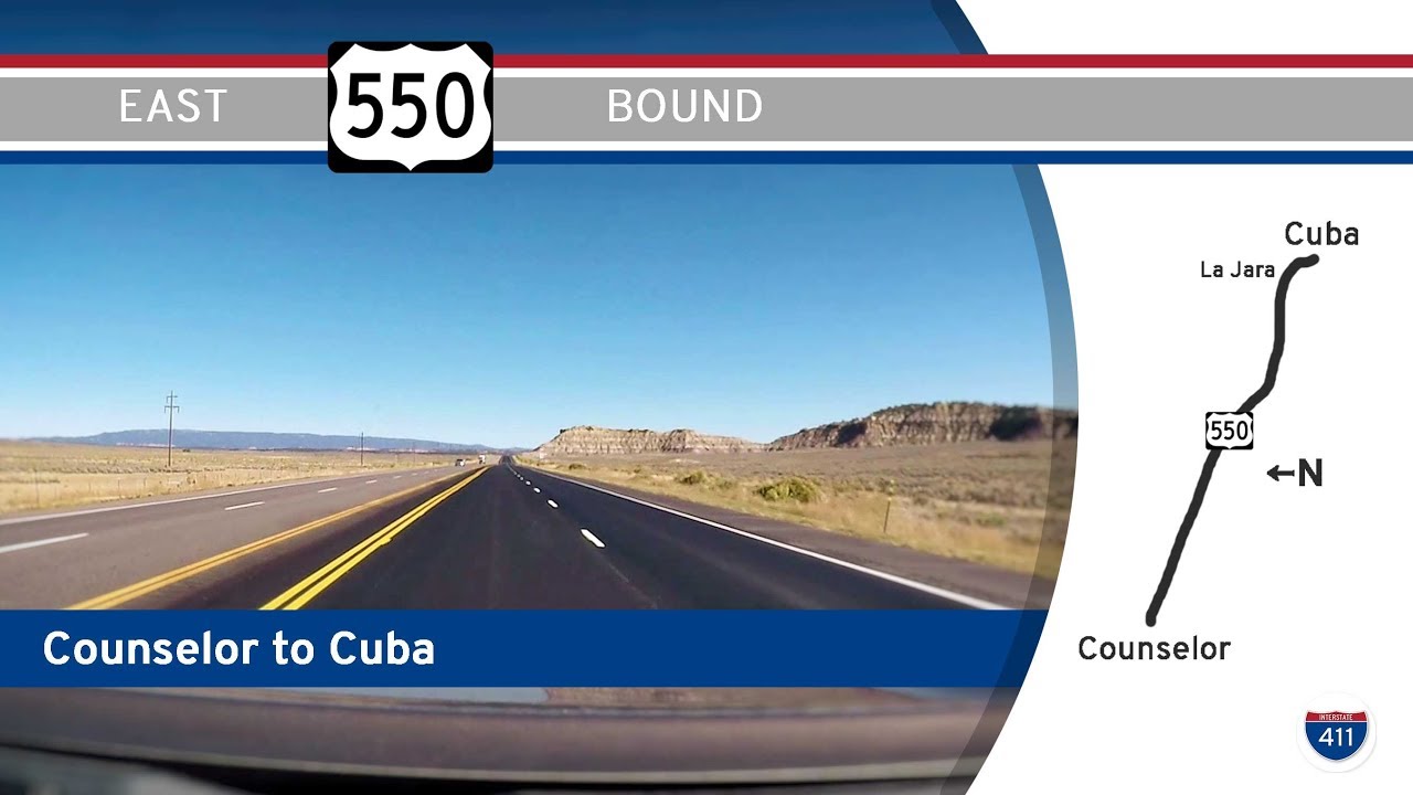
Drive through the striking New Mexico high desert on U.S. Route 550 from Counselor to Cuba. Explore 33 miles of badlands, mesas, Navajo Nation views, and historic small towns.
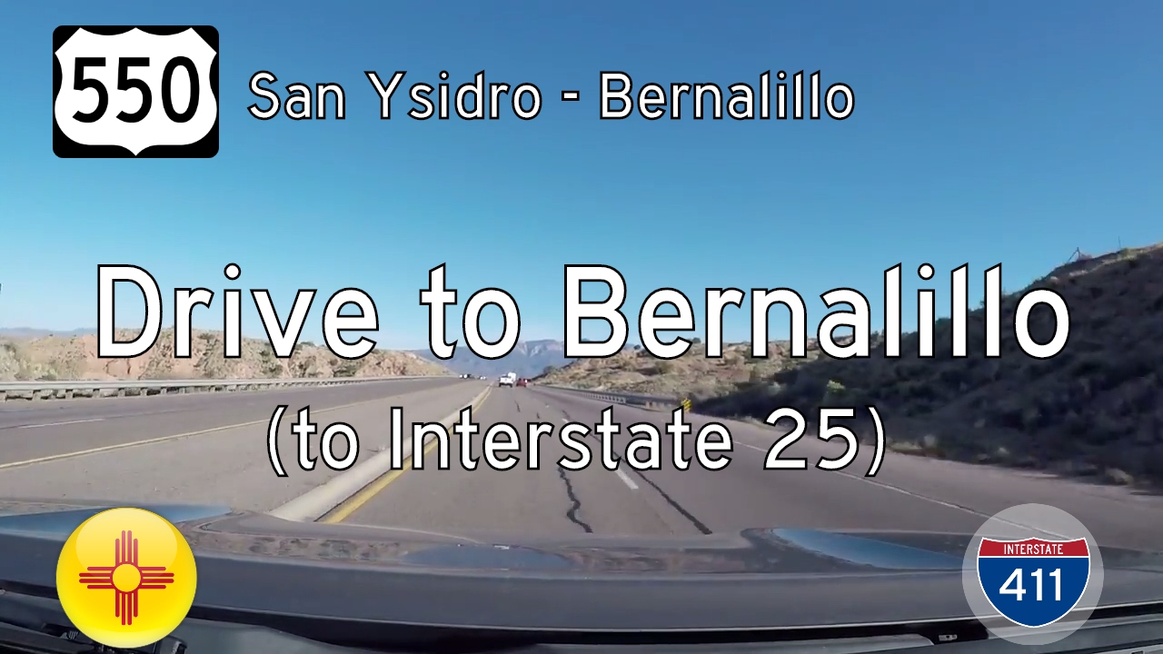
Take a scenic ride through the high desert of north-central New Mexico as we follow U.S. Route 550 from the quiet village of San Ysidro to the growing town of Bernalillo. This 23-mile stretch showcases the stark beauty of the Southwest, weaving together rugged mesas,…
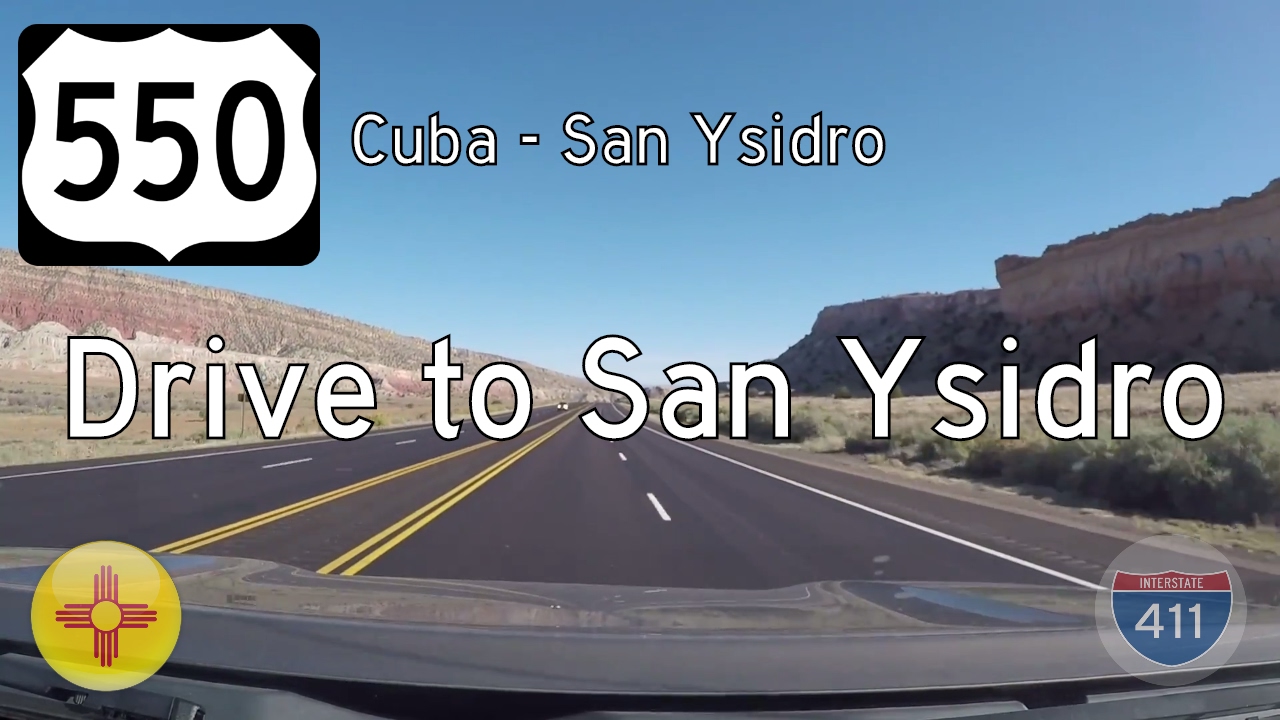
Travel 41 miles through New Mexico’s high desert along U.S. Route 550 from Cuba to San Ysidro. This scenic journey features volcanic landmarks, vast mesas, and Native American heritage—capturing the quiet beauty of the Southwest.
Take a 23-mile drive through the heart of the Navajo Nation along U.S. Route 550 from Nageezi to Counselor, New Mexico. This scenic desert highway offers striking high desert views, cultural heritage, and access to nearby Chaco Canyon.
Take a 39-mile journey through the high desert of northwest New Mexico along U.S. Route 550 from Bloomfield to Nageezi. Discover wide-open plateaus, Navajo communities, oil fields, and the gateway to Chaco Canyon on this quiet, scenic desert drive.
Take a quiet drive through New Mexico’s energy heartland on U.S. Route 550 from Aztec to Bloomfield. This 9-mile stretch connects historic towns and sweeping desert landscapes with modern industry and ancient culture.
Take a scenic drive down U.S. Route 550 from the Colorado state line to Aztec, New Mexico. This 15-mile route descends from high desert mesas into the fertile Animas River valley, blending beautiful landscapes with rich Native and local history.
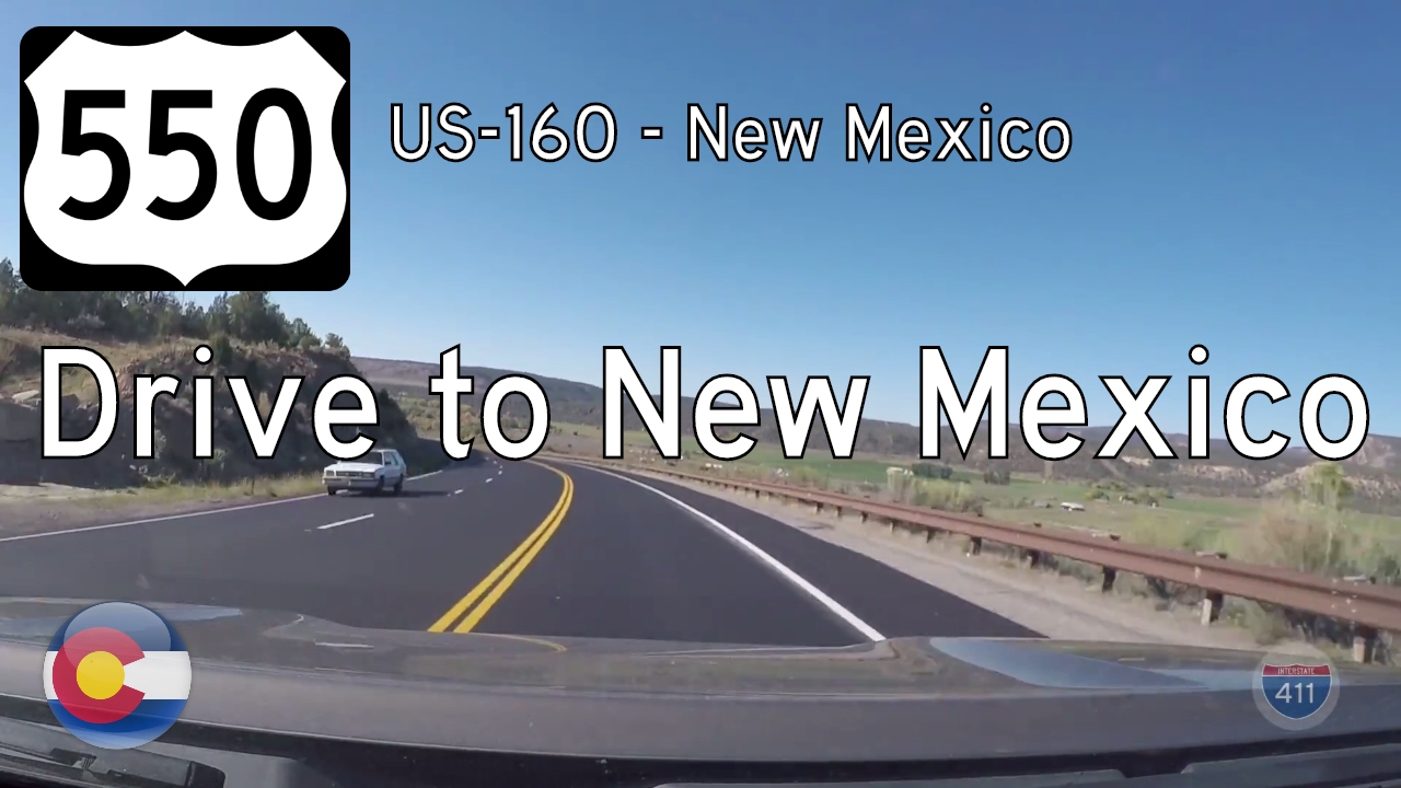
Take a quiet but beautiful drive along U.S. Route 550 from Durango, Colorado to the New Mexico state line. This 16-mile route winds through high desert plateaus, quiet ranchlands, and the southern edge of the San Juan Basin.
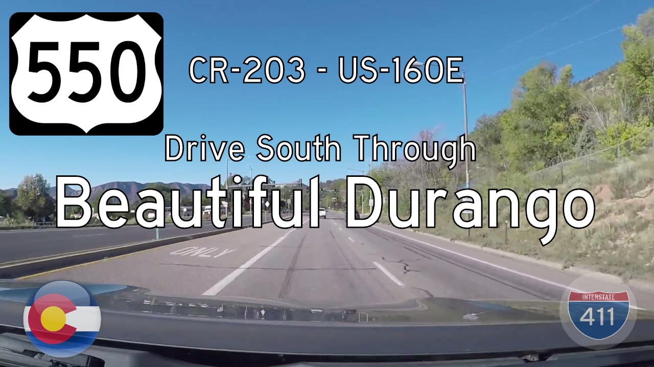
Take a scenic 9-mile drive south along U.S. Route 550 through Durango, Colorado—from the base of Animas City Mountain to the U.S. 160 junction. Explore this vibrant stretch filled with mountain views, hot springs, and historic railroads.
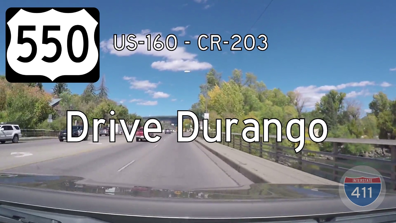
Explore the vibrant heart of Durango, Colorado on this 5-mile northbound stretch of U.S. Route 550, crossing the Animas River and historic downtown before reaching County Road 203. A scenic urban drive with mountain charm.