![U.S. Route 412: Paragould to Walnut Ridge – Arkansas | Real Roads, Real Drives [Repost]](https://openroadarchive.com/wp-content/cache/flying-press/d0aa669895c5333f98ba11121723e63c.jpg)
Take a scenic ride across northeastern Arkansas as we follow U.S. Route 412 from Paragould to Walnut Ridge. This 26-mile stretch carries us from the wooded slopes of Crowley’s Ridge into the fertile farmland of the Delta, before arriving in a town with deep ties to both agriculture and rock-and-roll history. Along the way, the road reveals how geography and heritage have shaped this corner of the state.
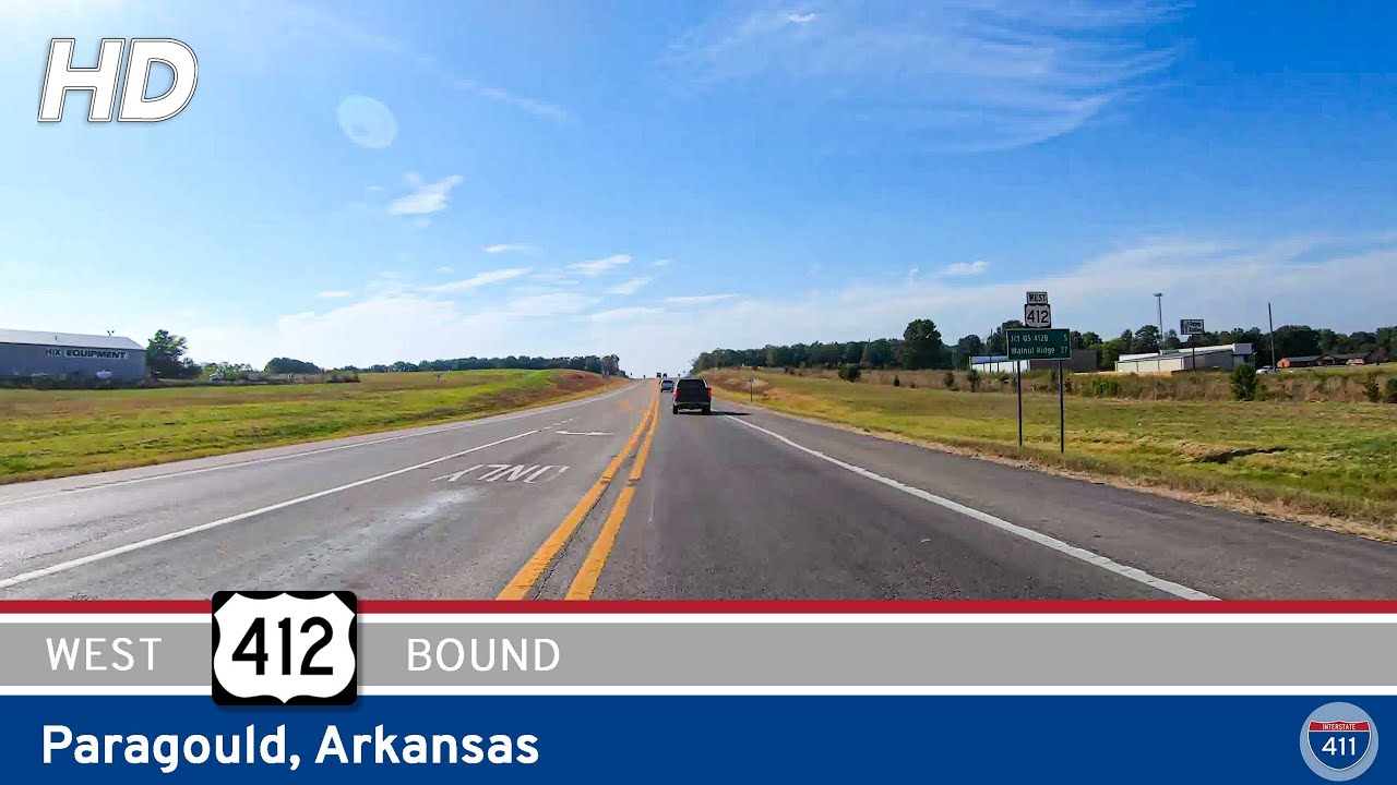
Our journey begins in Paragould, where U.S. 412 meets U.S. 49 near the heart of town. We ease onto the business route, threading past clusters of shops, schools, and neighborhoods that reflect the town’s role as a regional hub. Soon the highway begins its climb onto Crowley’s Ridge, a striking rise of hardwood forests that runs for nearly 200 miles through the otherwise flat Mississippi Alluvial Plain. This ridge is the product of ancient river shifts and windblown soils, creating a landscape that is unlike anywhere else in Arkansas. As we wind across its eastern edge, brief glimpses of treetops and distant fields remind us how quickly the terrain can change.
Descending from the ridge, the highway straightens into long, open runs across the Delta farmland. Here, wide horizons dominate, broken only by the silhouettes of grain bins, farmhouses, and the steady line of utility poles marching toward the horizon. Midway along, we pass through the community of Light — little more than a crossroads, but emblematic of the region’s agricultural backbone. Generations of families have farmed this land, producing rice, soybeans, cotton, and corn, and the rhythm of tractors in the fields ties the present to a long rural tradition.
Continuing west, the fields stretch on until the rising profile of Walnut Ridge comes into view. Before reaching town, U.S. 412 intersects with U.S. 67 — a corridor now being rebuilt as part of the future Interstate 57, promising faster connections north and south across the state. Entering Walnut Ridge, the scenery changes from open farm country to the bustle of small-town commerce. Storefronts, schools, and churches line the road, signaling the town’s role as a hub for the surrounding countryside. Just east of downtown, near the junction with Arkansas 34, our drive concludes — only a few blocks away from Walnut Ridge’s historic town center and its celebrated ties to The Beatles’ brief 1964 stopover, still remembered today with murals and Beatles Park
.
This segment of U.S. 412 is more than a simple connector between two towns. It embodies the transitions of northeast Arkansas — from ridge to Delta, from farmland to community, from the steady hum of agriculture to the rhythms of small-town life. Driving it, we are reminded of the subtle but significant ways landscape and history weave together to define the journey.
🎵 Music: Track List
🗺️ Route Map
0 Comments