Take a high-country ride through the volcanic plateau of northern Arizona as we follow U.S. Route 180 from the bustling hub of Flagstaff to the small junction town of Valle. This 49-mile drive weaves through Ponderosa pine forests, volcanic cinder fields, and wide-open meadows beneath the towering San Francisco Peaks, offering one of the most scenic approaches to the Grand Canyon from the south.
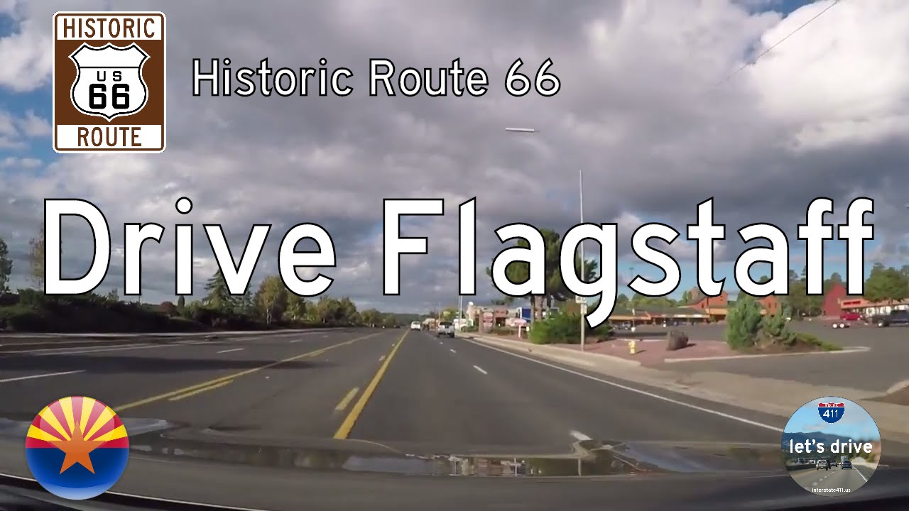
Leaving Flagstaff, we begin our journey on Fort Valley Road, heading northwest away from the city’s historic downtown and the busy junction of Interstates 17 and 40. The road quickly climbs into the Coconino Plateau, and within minutes, the urban surroundings give way to cool forest air and the towering silhouettes of Arizona’s highest mountains. Humphreys Peak, standing at 12,633 feet, dominates the skyline to our right—the tallest point in the state and the centerpiece of the San Francisco Peaks. This area, sacred to several Indigenous tribes including the Hopi and Navajo, has long been a spiritual and ecological landmark in northern Arizona.
As we wind our way out of Flagstaff proper, Route 180 becomes the San Francisco Peaks Scenic Road, and the pine forests thicken. We pass through the edge of the sprawling Kaibab National Forest, a nearly two-million-acre expanse of high desert woodland. During the summer months, this corridor becomes a favorite for locals and tourists alike, many of whom stop at Snowbowl Road to turn off toward the Arizona Snowbowl ski area. In winter, plows keep this route open for skiers headed to the slopes, but in warmer months, it’s a place for hiking, picnicking, and reveling in the crisp mountain air.
The forest begins to open up just north of Hart Prairie, and we enter a landscape of sweeping meadows and volcanic geology. Kendrick Peak soon comes into view on the western horizon, another dormant volcano that looms over the northern Arizona landscape. Near the town of Kendrick Park, there’s a popular National Forest information pullout, which offers a perfect spot to stop and admire the views—and if you’re lucky, catch a glimpse of elk grazing in the open fields. Interpretive signs here tell the story of ancient lava flows and the region’s fiery geological history.
Continuing north, the two-lane highway threads through increasingly arid terrain, where the dense pine canopy gives way to lower-growing juniper and wide open views of the plateau. We roll past the turnoff to the Red Mountain Trail, a relatively short hike that brings adventurers inside a unique box canyon carved into a cinder cone. Red-hued rock walls tower overhead here, shaped by eons of wind and water erosion. It’s one of the lesser-known trails near Flagstaff, and a true hidden gem for geology enthusiasts.
As we near Valle, the landscape begins to shift once more, taking on the character of high desert scrubland. Here, the vast openness of the Colorado Plateau becomes apparent—flat expanses stretch toward the horizon in every direction, broken only by the occasional ranch fence or weathered homestead. Valle itself is little more than a crossroads, where U.S. 180 meets Arizona Highway 64. But for many travelers, this marks a symbolic waypoint: the final fork before reaching the South Rim of Grand Canyon National Park, just 30 miles north.
Whether you’re approaching the Grand Canyon for the first time or retracing familiar roads through the highlands, the drive from Flagstaff to Valle is more than a route—it’s a journey through the changing face of Arizona’s diverse terrain. From the alpine heights of Humphreys Peak to the dusty threshold of the Painted Desert, this stretch of U.S. 180 quietly tells the story of mountains, fire, and timeless natural beauty.
🎵 Music:
All songs found and licensed on audiohero.com
Free as a bird, in another place, acoustic groove, sensitive and positive
🗺️ Route Map

0 Comments