Take a quiet drive through New Mexico’s energy heartland on U.S. Route 550 from Aztec to Bloomfield. This 9-mile stretch connects historic towns and sweeping desert landscapes with modern industry and ancient culture.

The U.S. Numbered Highway System—often referred to as U.S. Routes or U.S. Highways—is a nationwide network of roads established in 1926 to improve long-distance automobile travel across the United States. Unlike the Interstate system, U.S. Highways predate freeways and often serve as main streets, scenic byways, or vital connectors through rural and urban communities alike. Many historic routes, including iconic roads like U.S. Route 66, trace their roots to this enduring network.
These highways use a grid system for numbering: odd-numbered routes run north–south, increasing from east to west, while even-numbered routes run east–west, increasing from north to south. Important cross-country highways typically end in “0” or “1” (like US 20 or US 1), and three-digit offshoots usually indicate spurs or loops branching from mainline routes.
Today, the U.S. Highway system continues to evolve—some segments have been decommissioned, realigned, or upgraded to freeways—but many routes remain essential for regional travel, trucking, and scenic exploration. This category explores the entire U.S. Numbered Highway network, from coast to coast and border to border.
Take a quiet drive through New Mexico’s energy heartland on U.S. Route 550 from Aztec to Bloomfield. This 9-mile stretch connects historic towns and sweeping desert landscapes with modern industry and ancient culture.

Take a scenic drive down U.S. Route 550 from the Colorado state line to Aztec, New Mexico. This 15-mile route descends from high desert mesas into the fertile Animas River valley, blending beautiful landscapes with rich Native and local history.

Take a quiet but beautiful drive along U.S. Route 550 from Durango, Colorado to the New Mexico state line. This 16-mile route winds through high desert plateaus, quiet ranchlands, and the southern edge of the San Juan Basin.

Take a scenic 9-mile drive south along U.S. Route 550 through Durango, Colorado—from the base of Animas City Mountain to the U.S. 160 junction. Explore this vibrant stretch filled with mountain views, hot springs, and historic railroads.

Explore the vibrant heart of Durango, Colorado on this 5-mile northbound stretch of U.S. Route 550, crossing the Animas River and historic downtown before reaching County Road 203. A scenic urban drive with mountain charm.
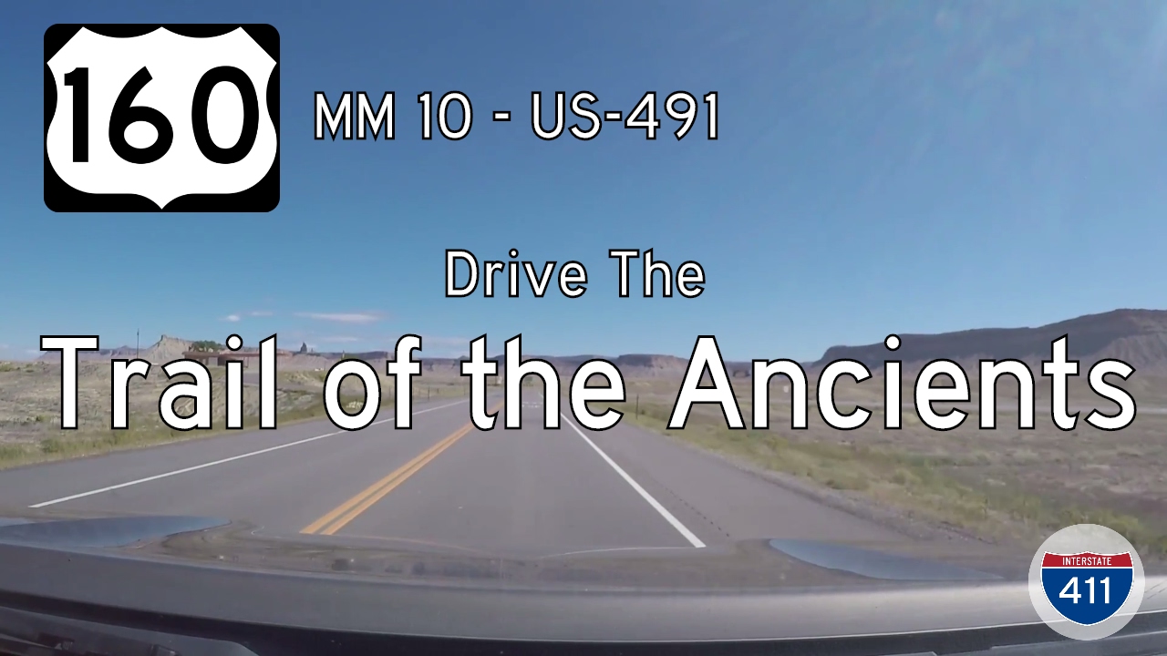
Take a scenic ride through the high desert of southwest Colorado on U.S. Route 160 from mile marker 10 to U.S. Highway 491. This 12-mile segment along the Trail of the Ancients offers expansive views, cultural heritage, and a quiet connection to the Four Corners landsca…
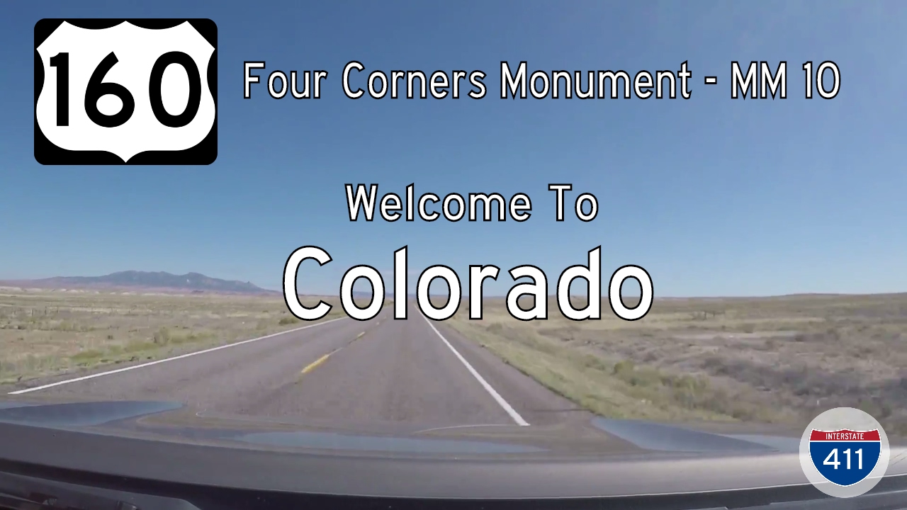
Travel along a storied 11-mile stretch of U.S. Route 160 from the Four Corners Monument into Colorado, crossing into Ute Mountain Ute Tribal Lands and experiencing the beauty of the Trail of the Ancients Scenic Byway.
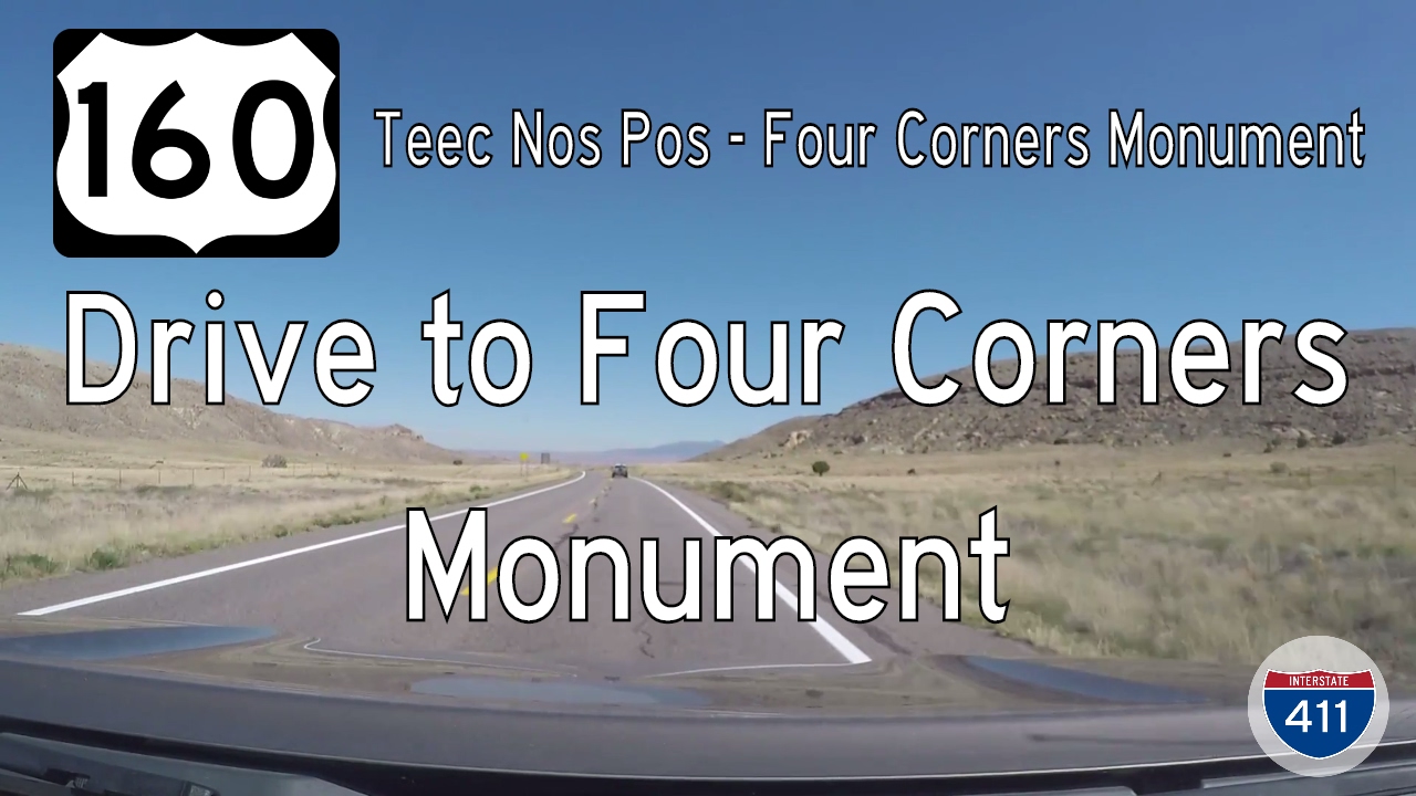
Take a drive through the heart of Navajo land as we follow U.S. Route 160 from Teec Nos Pos, Arizona to the Four Corners Monument in New Mexico. This short 6-mile route offers desert beauty, cultural depth, and a one-of-a-kind geographic landmark.

Travel 20 miles across the Arizona high desert on U.S. Route 160 from Red Mesa to Teec Nos Pos, ending at the gateway to Four Corners. Discover sweeping landscapes and Navajo Nation history along this scenic southwestern route.

Travel a serene 20-mile stretch of U.S. Route 160 from Mexican Water to Red Mesa, Arizona, through Navajo Nation lands. Discover stunning high-desert landscapes, Navajo culture, and the geology of the Colorado Plateau on this scenic drive.
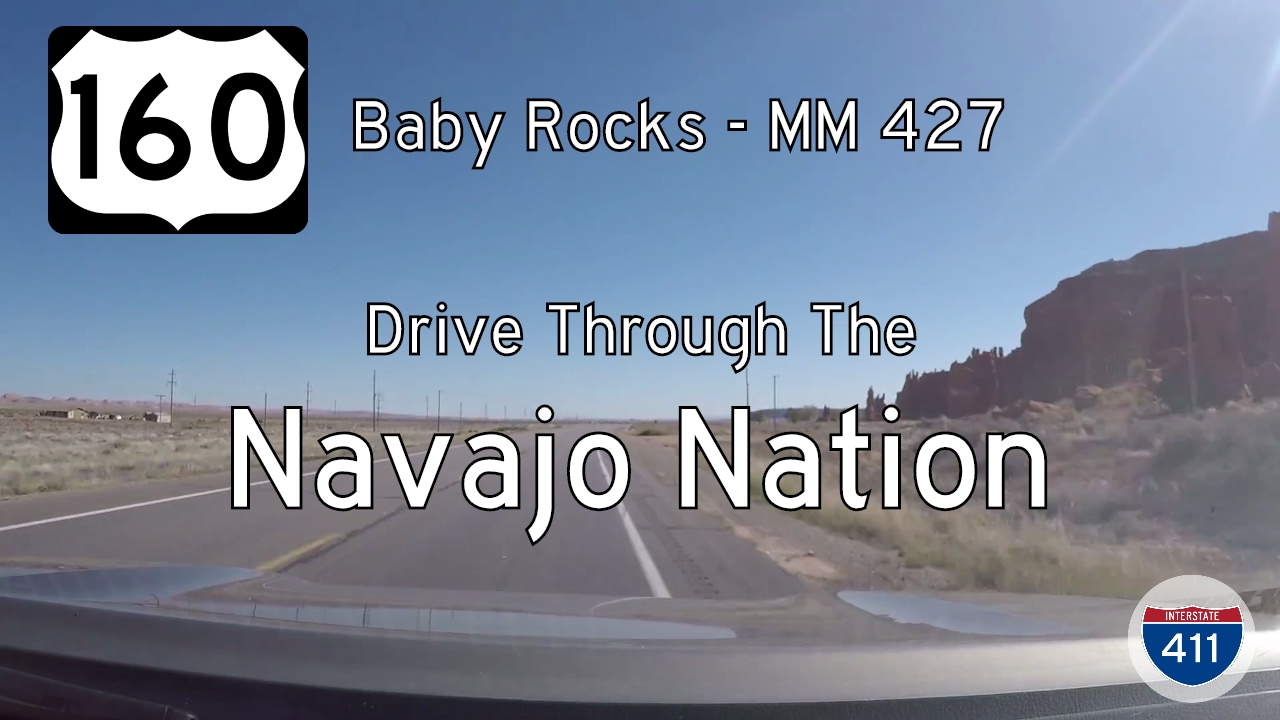
Travel 20 miles across the high desert of northeastern Arizona on U.S. Route 160 from Baby Rocks to Mexican Water. This remote stretch of highway winds through the Navajo Nation, past sandstone mesas, traditional communities, and sweeping desert vistas.

Travel a striking 15-mile segment of U.S. Route 160 from Kayenta to Baby Rocks, Arizona. Experience the beauty of Navajo Nation’s red rock formations, desert landscapes, and sculpted sandstone on this peaceful highway drive.