Oklahoma State Highways form a vital part of the state’s transportation infrastructure, connecting rural towns, regional hubs, and major urban centers across all 77 counties. Maintained by the Oklahoma Department of Transportation (ODOT), the system includes over 12,200 miles of state-maintained highways, making it one of the most extensive in the central United States. These highways range from two-lane rural routes traversing the rolling plains to multi-lane expressways cutting through metropolitan areas like Oklahoma City and Tulsa.
The state highway system is numerically diverse, encompassing routes numbered from 1 to 412, including a unique set of lettered spurs and alternate routes (e.g., SH-51A or SH-3E) that enhance local access. Oklahoma is notable for its use of diagonal highways—routes like SH-3, SH-9, and SH-33—which do not adhere strictly to east-west or north-south orientations. This flexibility allows the network to better follow natural terrain and population centers, helping the state support commerce, agriculture, energy, and tourism.
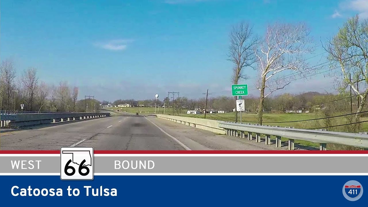
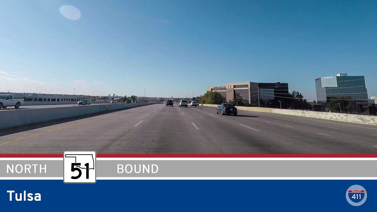
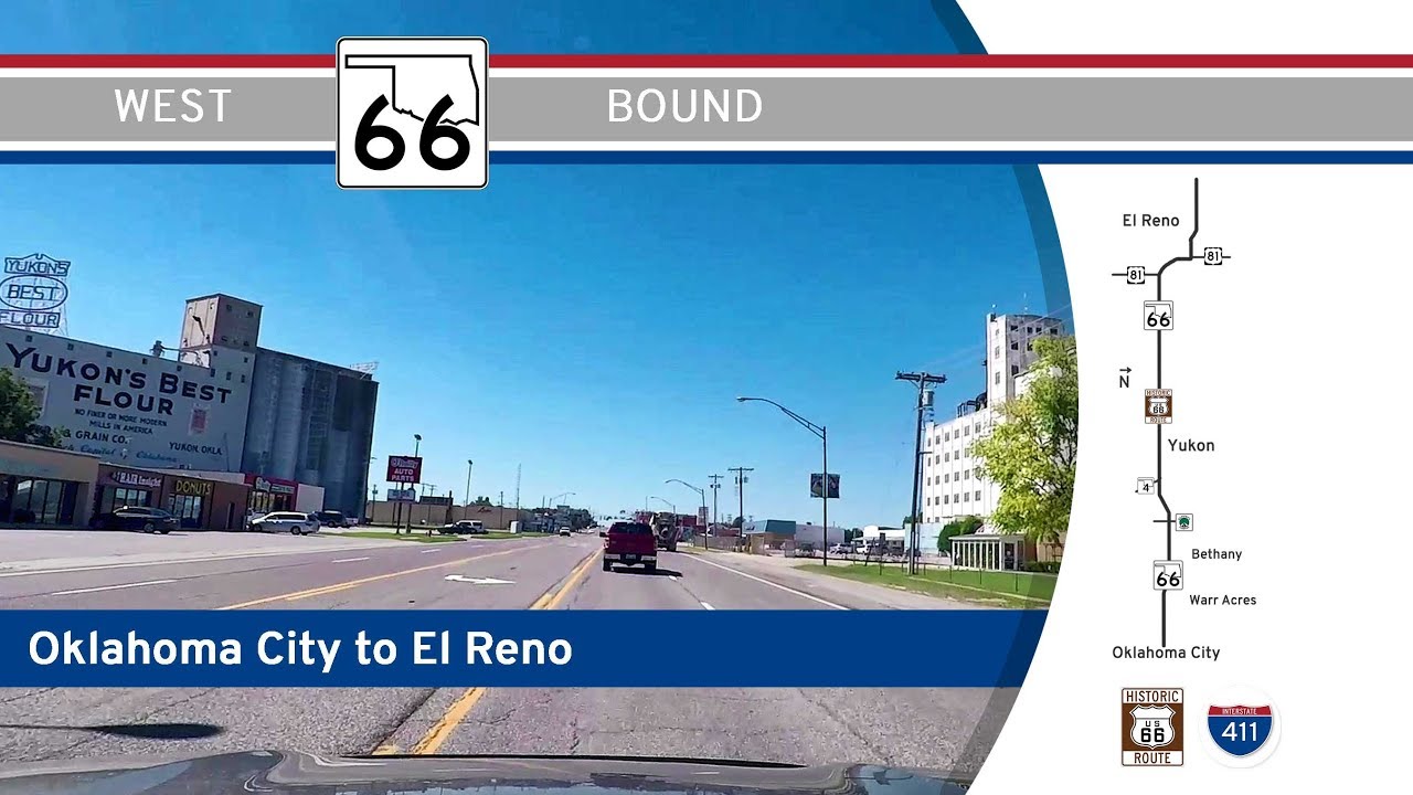
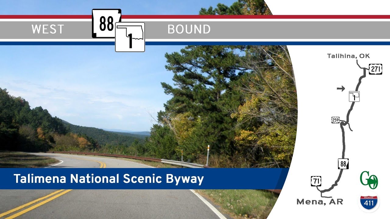
A few state highways serve as scenic routes or historical corridors. For instance, State Highway 325 offers travelers panoramic views of the Black Mesa region in the Panhandle, while portions of SH-66 parallel the legendary Route 66, giving modern motorists a taste of vintage Americana. Other highways, like SH-51 and SH-33, span nearly the entire state from border to border, functioning as key cross-state arteries.
ODOT has made significant efforts in recent years to upgrade safety and capacity along many high-traffic corridors, especially those feeding into interstate and U.S. highways. From bridge rehabilitation projects to widening efforts near growing suburban areas, these improvements help ensure that Oklahoma’s state highways remain reliable for both everyday travel and long-haul freight movement.
Whether you’re traversing the fertile farmland near Enid, skirting the lakes of eastern Oklahoma, or cruising through the red dirt landscapes of the west, the state highway system offers an essential and often scenic way to explore the Sooner State. Each road tells part of Oklahoma’s story—linking past to present, and communities to opportunity.