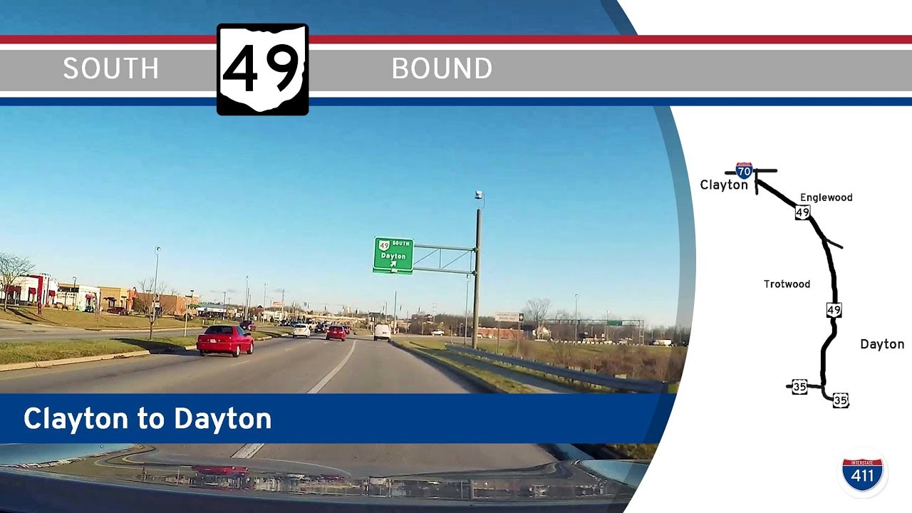
Drive America’s Highways for 8.5 miles south along Ohio Route 49 from Clayton to Dayton. Explore suburban hubs, historic road alignments, and urban gateways on this essential connector through Montgomery County.
Ohio’s state highway system is a vital part of the Midwest’s transportation framework, with thousands of miles of roads connecting rural farmlands, bustling suburbs, and major cities like Columbus, Cleveland, and Cincinnati. These highways are designated as “State Routes” and signed with distinctive white numbers on a black outline of Ohio’s silhouette. Whether you’re following SR 2 along the Lake Erie shoreline or winding through the Appalachian foothills on SR 7, the diversity of terrain and travel experience in Ohio is remarkable.
The Ohio Department of Transportation (ODOT) oversees the maintenance and development of these routes. Many state highways act as critical connectors between Interstate and U.S. routes, filling gaps in regional access and offering alternate paths for local traffic. Some state routes, like SR 315 in Columbus or SR 8 near Akron, function more like limited-access expressways, while others such as SR 56 or SR 664 offer scenic countryside drives that highlight the state’s natural beauty.
Ohio’s network has seen continuous evolution, with decommissioned routes occasionally repurposed or renumbered to better suit modern travel demands. The system supports not only everyday commuting and commercial transport but also tourism, as many routes pass through historic towns, state parks, and rural heritage areas.
Drive America’s Highways for 8.5 miles south along Ohio Route 49 from Clayton to Dayton. Explore suburban hubs, historic road alignments, and urban gateways on this essential connector through Montgomery County.