
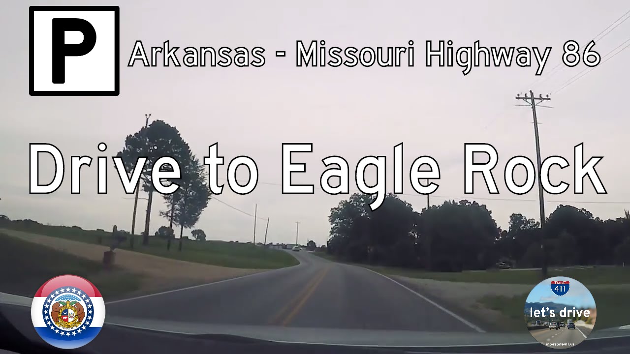
Take a winding ride through the southern Missouri Ozarks as we follow the rural and rugged path of Missouri Route 86 from Eagle Rock to the outskirts of Branson. This 32-mile drive captures the essence of backcountry Missouri—full of wooded ridgelines, glinting lake views, and curving pavement that traces the contours of the hills. Whether you’re chasing autumn foliage, cruising toward a lake weekend, or just savoring the silence between small towns, this is the kind of drive that lets you breathe deep and appreciate the quiet corners of the Show-Me State.
We begin at the junction with Route P in Eagle Rock, a small lakeside community that rests along the northern arm of Table Rock Lake. As we head east, the highway climbs quickly into the wooded terrain that defines this corner of Barry County. The lake lingers off to the south, never quite visible but always close, as the road twists and turns through a patchwork of oak and hickory forest. This area is lightly developed—mostly small homes tucked into the trees, a few roadside churches, and the occasional glimpse of a gravel road leading off toward hidden coves or blufftop views. It’s a region shaped as much by recreation as by resilience, where fishing boats and four-wheelers coexist with generations-old farms hidden just beyond the treeline.
As we continue eastward, Route 86 eventually intersects with Missouri Route 39 at Carr Lane. The brief concurrency with Route 39 is a transitional moment: while still remote, we begin to feel the gravitational pull of Branson’s orbit. Shortly after, we separate from 39 and resume our journey northeast, where the curves get tighter and the elevation gains a bit more dramatic. One of the highlights of this stretch is a sharp descent into the Long Creek valley, part of the Table Rock Lake watershed. Just before crossing the water, we pass the entrance to the Long Creek Campground, a peaceful spot managed by the U.S. Forest Service that offers lakeside camping and boat access—a favorite among locals and savvy out-of-towners.
Climbing out of the valley, we enter Taney County and begin the most dramatic portion of the route: the ridge-running highway that skirts the southern edge of Table Rock Lake’s dam area. Though the dam itself lies north of our path, the terrain here reflects the same dynamic geology—steep drops, exposed rock cuts, and forested slopes that fall away into narrow hollows. It’s also where we approach Missouri Route 65, a major north–south corridor that signals the edge of Branson proper. Just before merging, Route 86 passes through a final stretch of rolling farmland—fitting punctuation to a route that has showcased the many faces of southern Missouri: wooded, watery, wild, and lived-in.
Ending at the junction with US Highway 65 south of Branson, we leave behind the winding backroads and enter the gateway to one of Missouri’s most visited destinations. The juxtaposition is stark—tranquility giving way to traffic, solitude exchanged for shows and souvenir shops. But in that contrast lies the beauty of this drive: it offers perspective. Missouri Route 86 reminds us that even in a state as visited as Missouri, there are still quiet places left to explore. And sometimes, the best way to reach the action is to take the road that most others overlook.
🗺️ Route Map

0 Comments