Tucked deep within the rugged and scenic Ozark Mountains, Arkansas Highway 16 offers a truly immersive drive between Witts Springs and Sand Gap. Stretching 26 miles, this section of AR-16 meanders through dense forests, quiet ridgelines, and remote communities, making it one of the most picturesque drives in the Natural State. While it may not be a household name like the Pig Trail or Talimena Scenic Byway, this winding road delivers an equally memorable journey—especially for those who appreciate the peaceful isolation of the backwoods and the grandeur of unspoiled nature.
Our drive begins in the small mountain town of Witts Springs, where Highway 16 intersects with AR-377 at the town’s southern end. The area itself is quiet and rustic, offering a glimpse into rural Arkansas life. From here, we head briefly south before the road begins its gentle curve westward, only to turn south again for a significant stretch. This part of the highway runs alongside the vast reaches of the Ozark National Forest, with forested slopes lining both sides of the road. The scenery is pure Arkansas—oak and hickory trees crowd the ridges, and in the spring and fall, the colors along the roadside are nothing short of spectacular.
After about six and a half miles of winding forest road, the highway takes a decisive turn northward as we approach Ben Hur, another tiny Ozark community. Though barely a dot on the map, Ben Hur is a well-known waypoint for outdoor enthusiasts. Just past the community, AR-16 reorients itself to the west once more, and the real scenic highlights begin. This portion of the highway is renowned for its proximity to Pedestal Rocks Scenic Area, a must-visit spot for hikers and nature lovers. The Pedestal Rocks Trail and the nearby Kings Bluff Trail offer short hikes with big payoffs: towering rock formations, natural arches, and sweeping views of the forested valley below.
Driving further west, the elevation rises and falls gently, and roadside pull-offs offer occasional vistas across the Ozark Plateau. The road narrows in places and the curves get tighter—this is a route best enjoyed at a leisurely pace. Wildlife sightings are common, and the road’s minimal traffic means you’ll often feel like you have the entire mountain to yourself. The peacefulness of the drive is broken only by the occasional truck or fellow adventurer headed to the next trailhead.
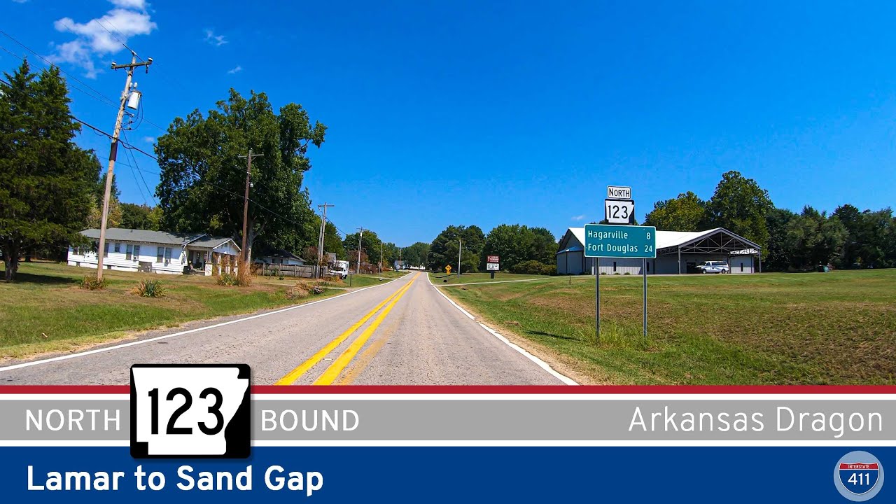
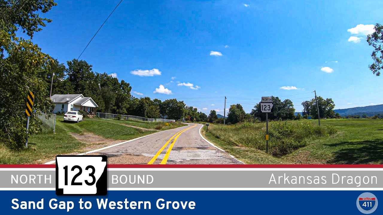
We reach Sand Gap—also historically known as Pelsor—at the western terminus of our journey. This junction, where Highways 7, 16, and 123 meet, sits at the edge of the Ozark-St. Francis National Forest and serves as a gateway to several popular outdoor destinations. Sand Gap itself has a long-standing history as a mountain crossroads, and while small, it’s often a hub for those seeking out the nearby Buffalo National River, Falling Water Falls, or Richland Creek Wilderness Area. At the junction, Highway 7 heads north toward Jasper or south toward Russellville, while AR-123 curves northward toward Mount Judea.
If you’re looking for a drive that combines remote mountain charm with some of the best hiking access in Arkansas, the route from Witts Springs to Sand Gap along AR-16 is hard to beat. It may not be the fastest route through the Ozarks, but it’s certainly one of the most rewarding. Whether you’re road-tripping, motorcycle touring, or just seeking solitude among towering trees and rocky bluffs, this route is a reminder of why Arkansas is called the Natural State.
Originally Posted 2.15.23
0 Comments