Travel 51 miles west on U.S. Route 60 from Sikeston to Poplar Bluff, Missouri. This at-grade divided highway—partially upgraded to interstate standards—is a key connector through the Bootheel’s farmland and small towns like Dexter and Fisk.

The 🌾 Farmland tag identifies routes that pass through active agricultural areas, where fields, silos, barns, and tractors are common sights. These roads often wind through rural communities and showcase the day-to-day life of America’s working landscapes—whether it’s rows of corn, wheat, soybeans, or pastureland dotted with livestock.
Travelers on farmland-tagged routes can expect a slower pace and a direct look at the country’s agricultural backbone. These drives frequently intersect with small towns, local markets, and seasonal roadside stands offering fresh produce or handmade goods.
Travel 51 miles west on U.S. Route 60 from Sikeston to Poplar Bluff, Missouri. This at-grade divided highway—partially upgraded to interstate standards—is a key connector through the Bootheel’s farmland and small towns like Dexter and Fisk.
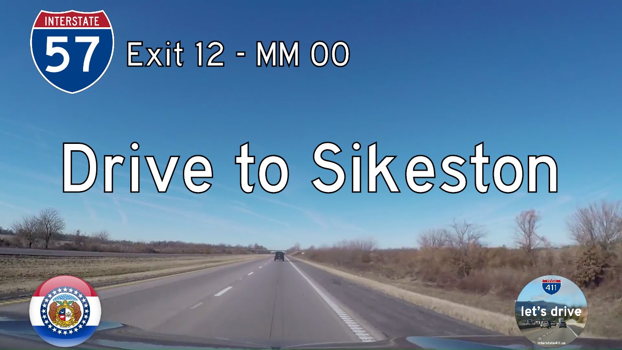
Take a ride down Interstate 57’s Missouri segment, a 12-mile stretch from Charleston to its current terminus at I-55 near Sikeston. Discover how this quiet Bootheel route fits into the growing I-57 corridor between Illinois and Arkansas.

Drive 11 miles west along U.S. Route 62 from the Mississippi River at the Illinois state line to Interstate 57 in Charleston, Missouri. This flat and fertile route connects historic Cairo, Illinois with Missouri’s Bootheel farmland and I-57’s major north–south cor…
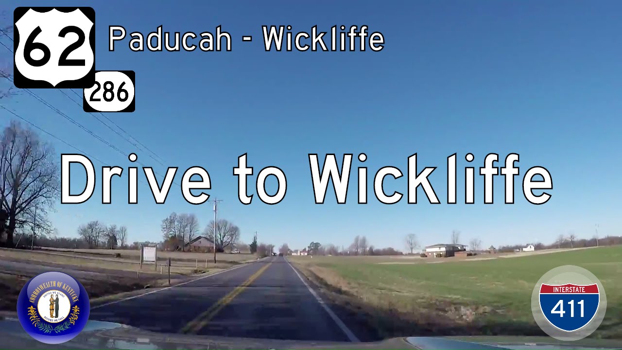
Explore a scenic 22-mile drive along U.S. Route 62 and KY-286 from Paducah to Wickliffe, Kentucky. Discover river levees, farmland, and the historic charm of the Mississippi Valley’s edge.
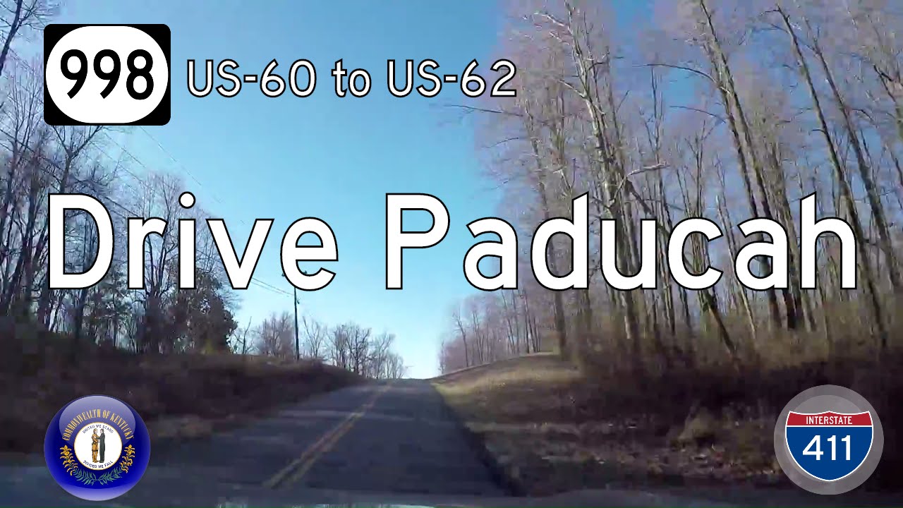
Drive 2.5 miles along Kentucky Route 998 (Olivet Church Road) in Paducah, Kentucky, connecting U.S. Highways 60 and 62 through a mix of suburban growth and rural charm.
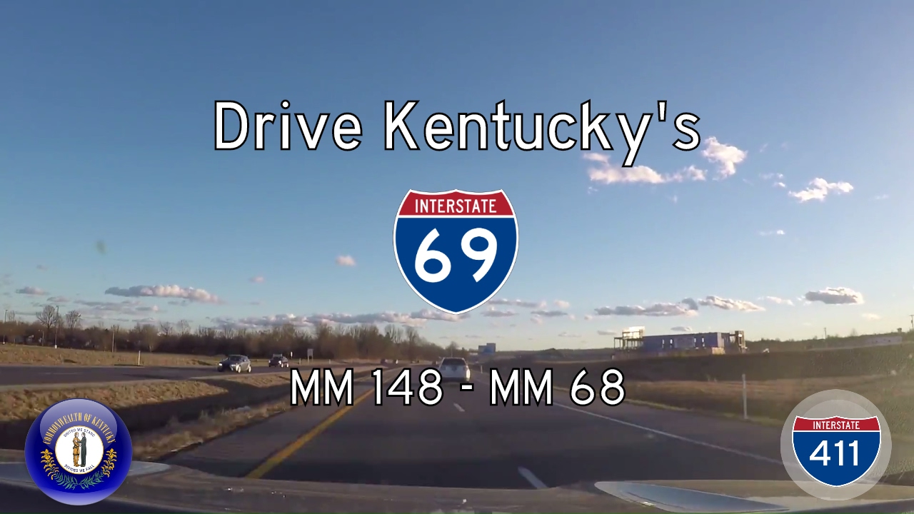
Drive 80 miles along Interstate 69 from Henderson to Eddyville, Kentucky — a modern route built atop Kentucky’s historic parkways. This scenic journey highlights rural landscapes, ongoing infrastructure upgrades, and the state’s role in the I-69 national corridor.
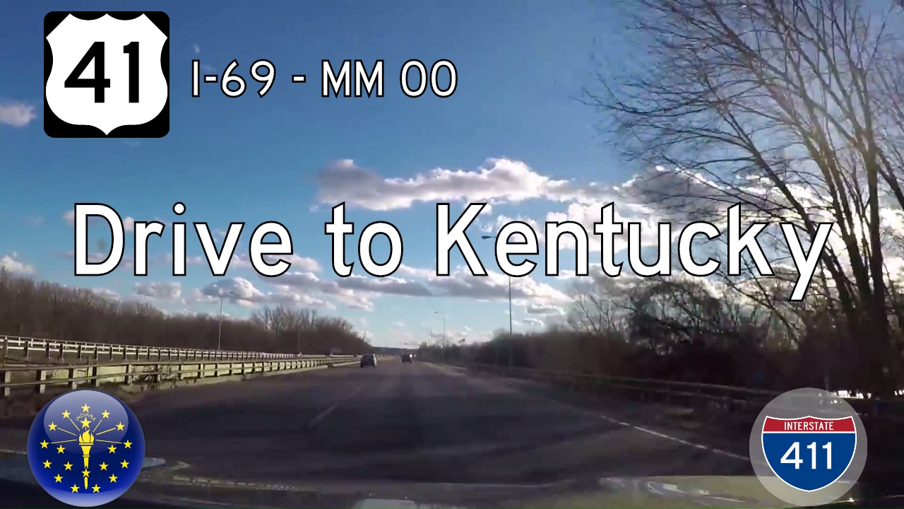
Take a brief but pivotal ride along U.S. Route 41 from Interstate 69 in Evansville, Indiana to the Kentucky state line. This 1-mile drive showcases a vital cross-river connector between Indiana and Kentucky, leading directly to the famed twin bridges into Henderson.

Drive Interstate 69 from Bloomington to Evansville, Indiana — a 114-mile stretch through southern Indiana’s farmland, forests, and rural communities. Follow I-69 as it winds past Crane and connects with I-64 on its way to U.S. 41 in Evansville.
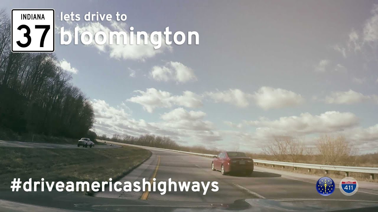
Drive 48 miles along Indiana State Road 37 from Indianapolis to Bloomington—capturing a now-lost version of the highway before its full transformation into Interstate 69.
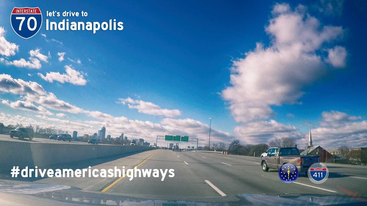
Drive Interstate 70 from Richmond to Indianapolis across 76 miles of eastern Indiana, passing farmland, small towns, and urban interchanges before merging into the heart of downtown Indy.
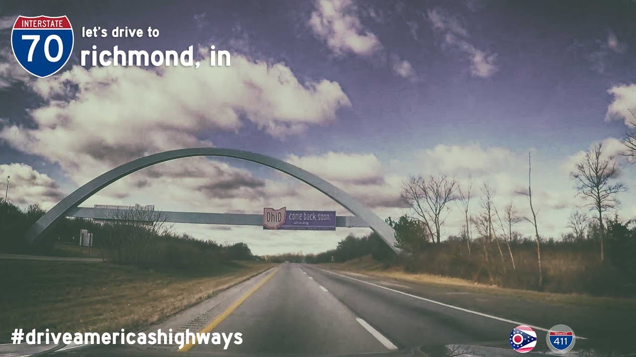
Drive 29 peaceful miles across western Ohio on Interstate 70 from Englewood to Richmond. Follow the transition from Dayton suburbs to rural farmland as you near the Indiana border on this classic cross-country corridor.
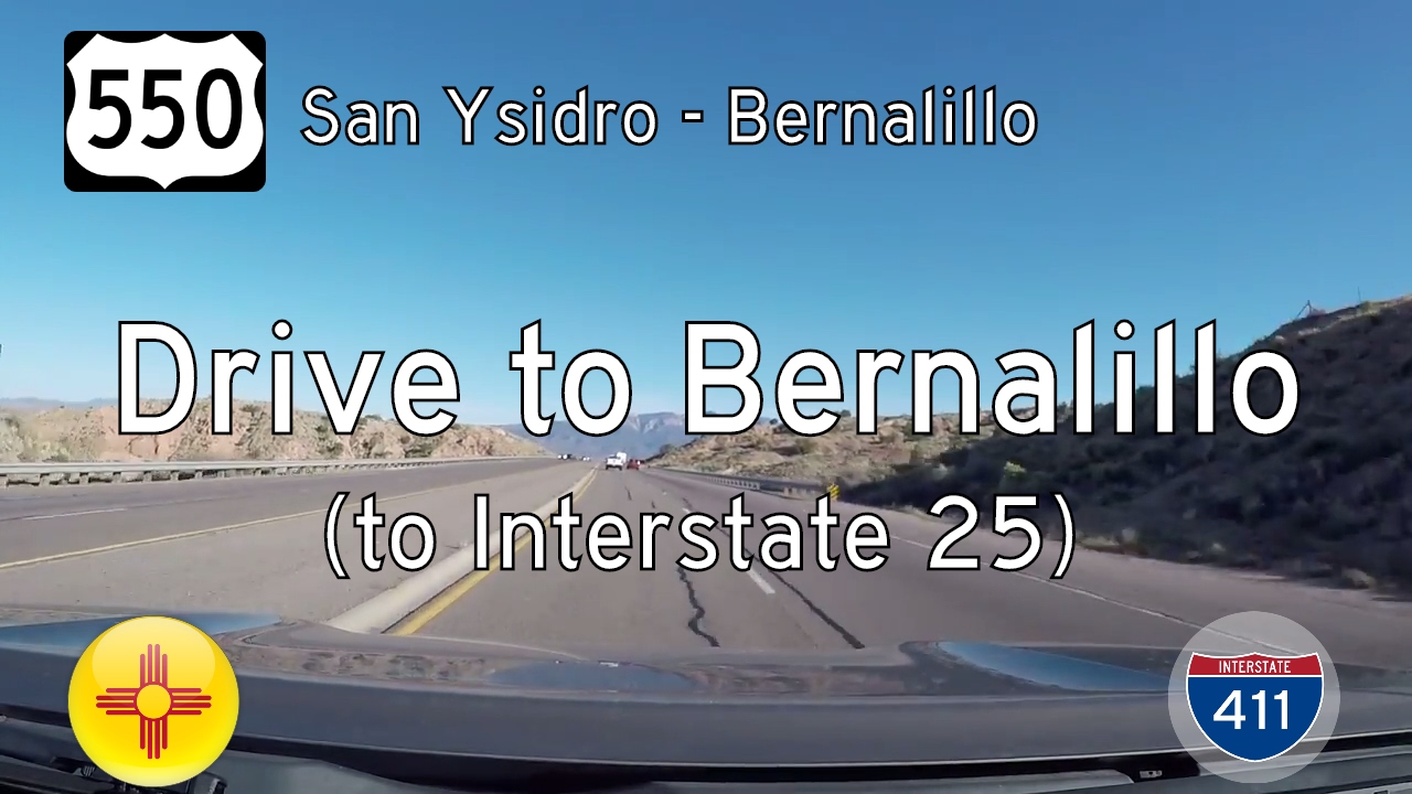
Take a scenic ride through the high desert of north-central New Mexico as we follow U.S. Route 550 from the quiet village of San Ysidro to the growing town of Bernalillo. This 23-mile stretch showcases the stark beauty of the Southwest, weaving together rugged mesas,…