Drive 141 miles west across the Mojave Desert on Interstate 40 from Needles to Barstow, California. This quiet but stunning stretch features desert vistas, Route 66 remnants, and a brush with the Mojave National Preserve.

Explore the U.S. Interstate Highway System through real-world drive videos, covering major routes like I-40, I-70, and I-95. Watch scenic, urban, and rural interstate journeys across America on RealRoads.tv
The United States Interstate Highway System is the backbone of the nation’s road transportation network, connecting cities, states, and regions across more than 46,000 miles of road. Built for speed, efficiency, and mobility, the Interstate system revolutionized travel and commerce following its inception in 1956 under the Federal Aid Highway Act. These highways are designed for long-distance travel, offering controlled-access roads with high-speed limits and minimal interruptions—ideal for both roadtrippers and freight haulers alike.
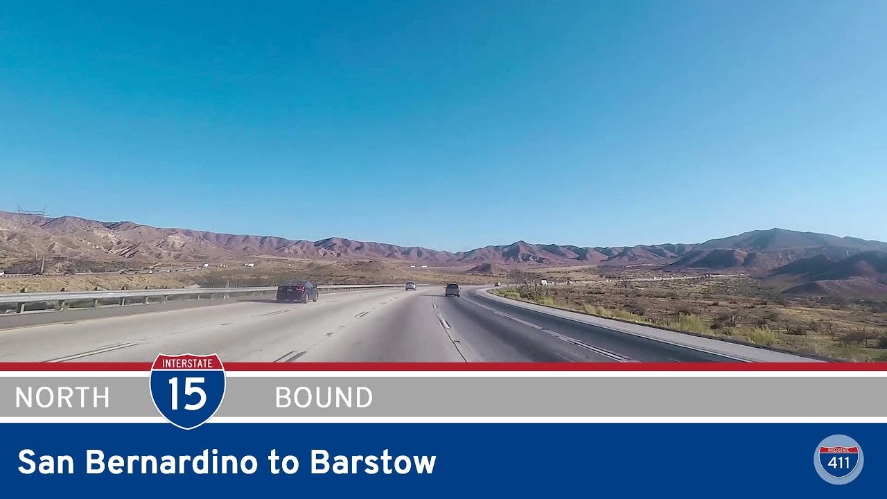
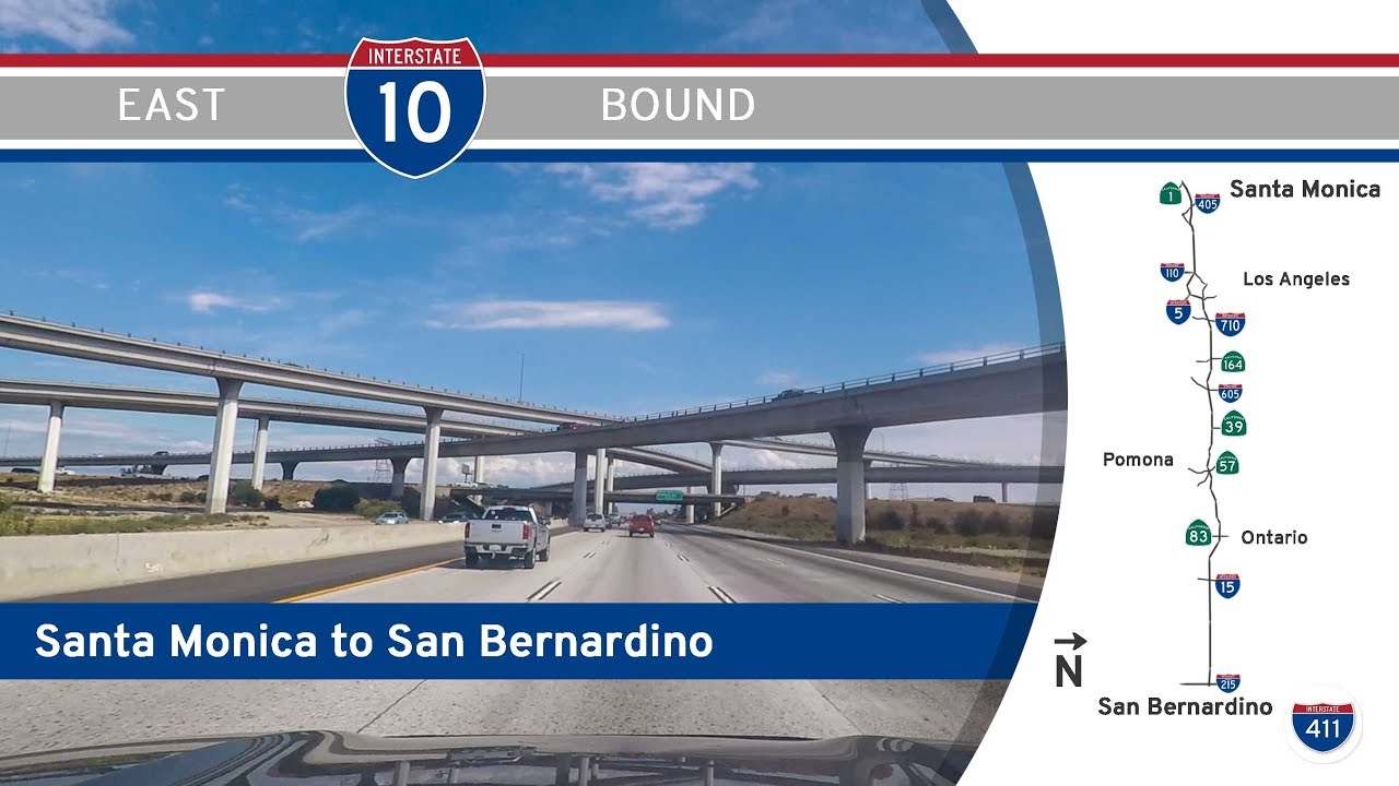
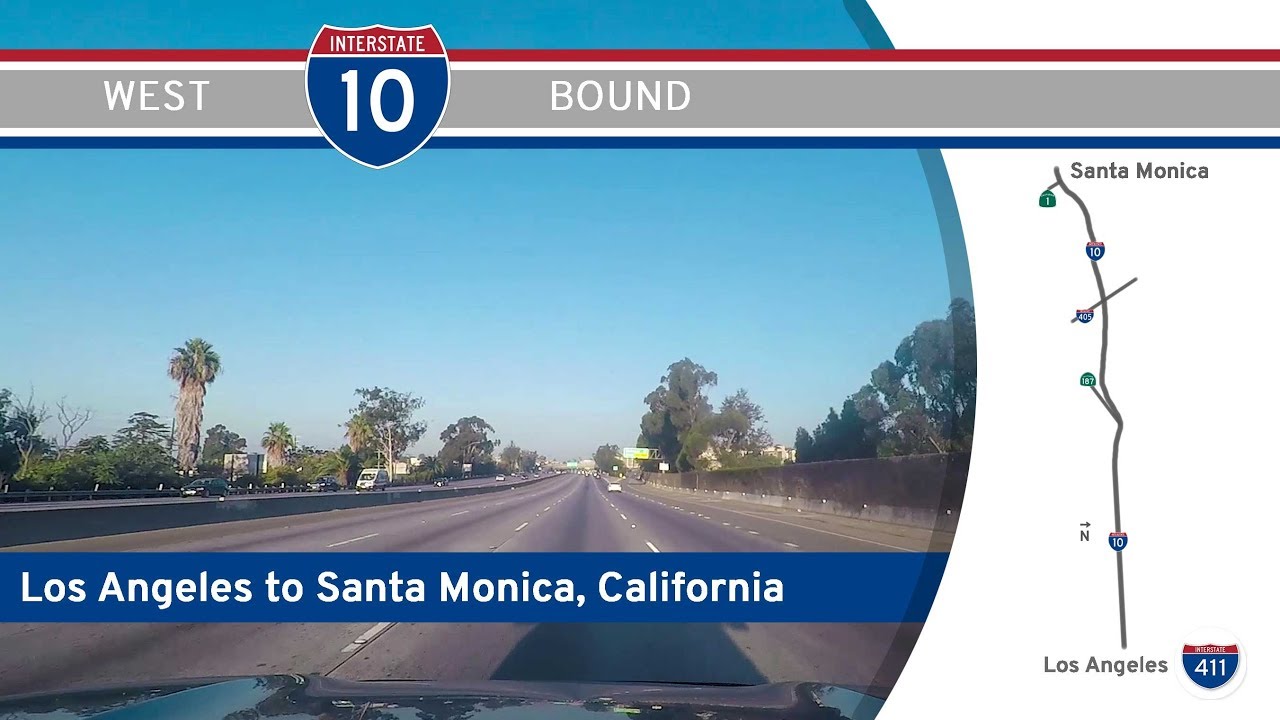
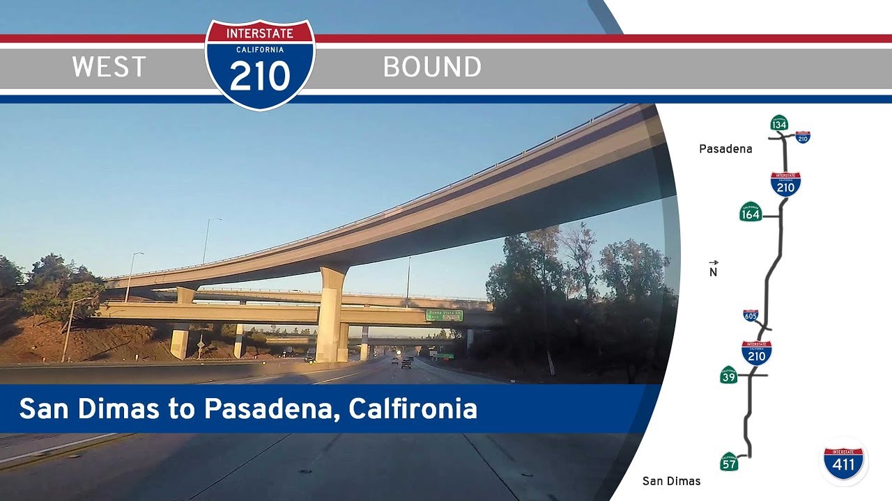
At RealRoads.tv, our focus is on capturing the real-world driving experience along these major routes. From scenic segments through the Appalachians to urban sprawl near major cities, we document what it’s like to drive the length of interstates like I-10, I-70, or I-95. Whether it’s a full-length drive or a short but significant connector, our videos showcase the personality of each highway as it winds through America’s landscapes.
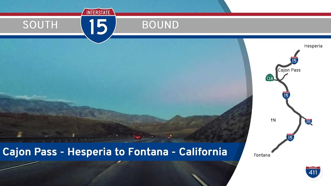
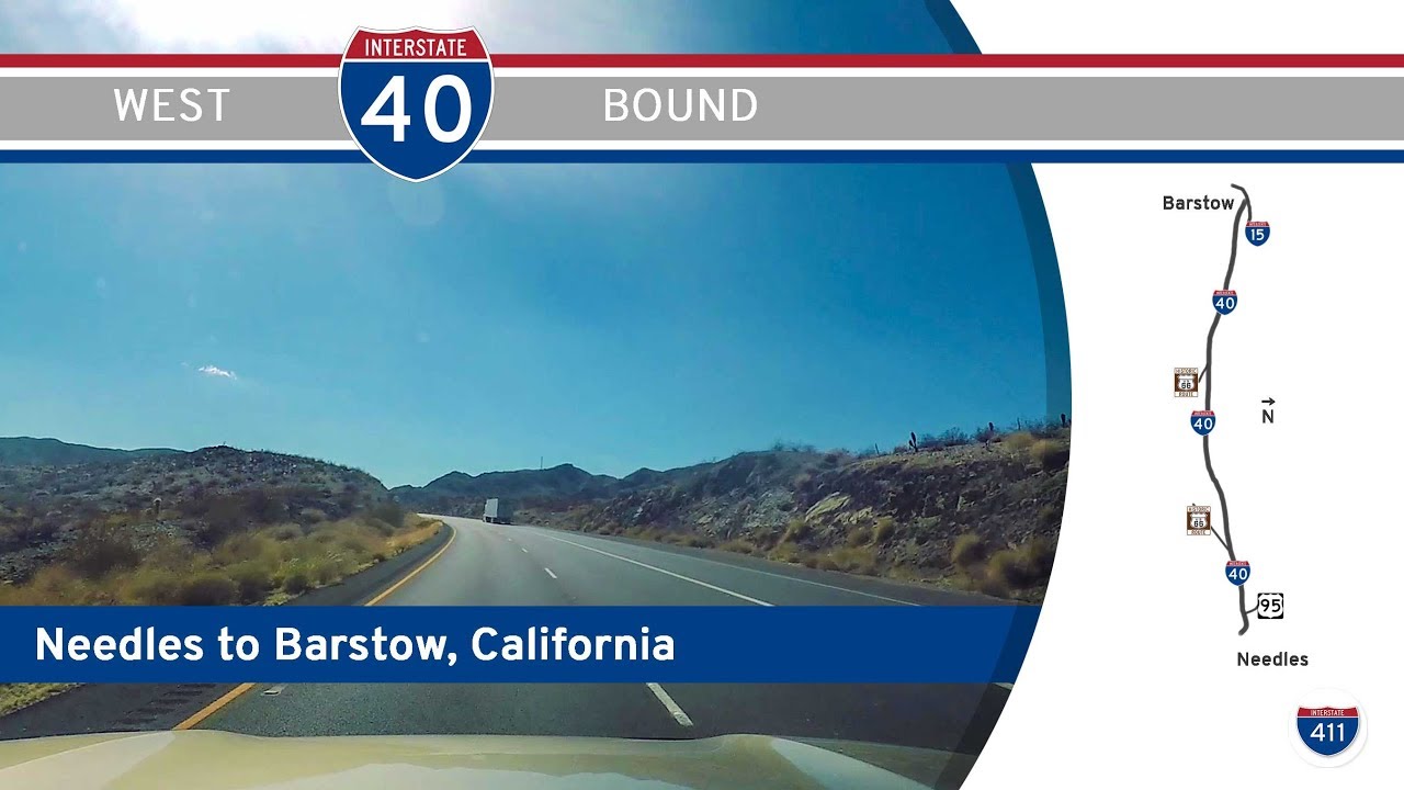
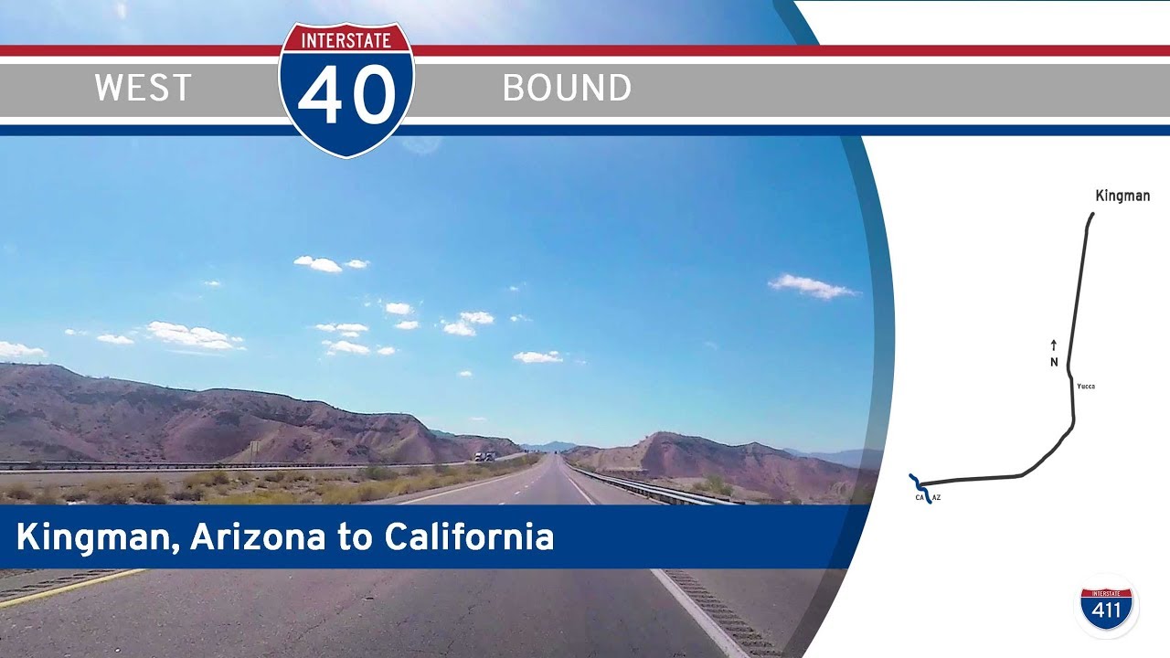
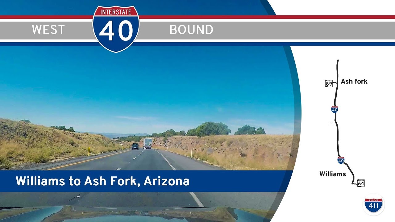
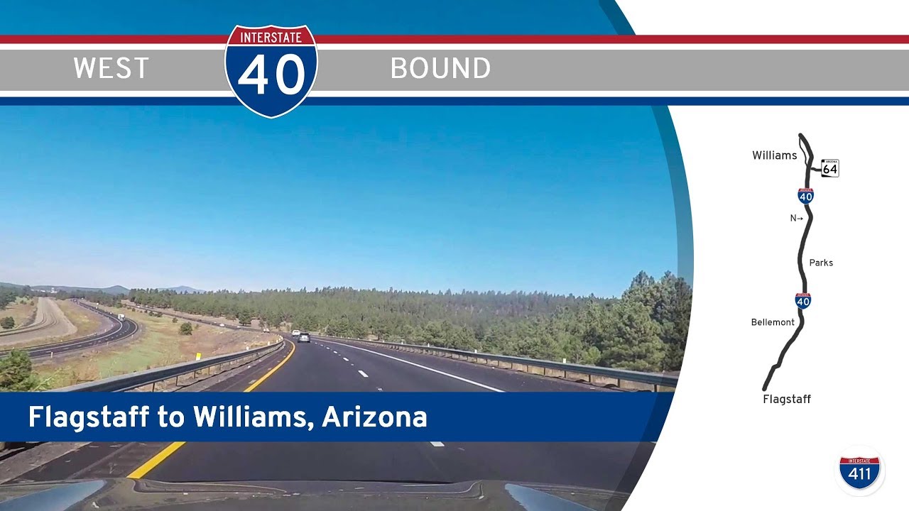
Our collection spans dozens of Interstate corridors with footage across a majority of the 48 contiguous states. You’ll find both mainline interstates (one- and two-digit numbers) and auxiliary routes (three-digit spur and loop routes), each categorized and tagged by location, route, and terrain. These are not textbook tours—they’re windshield-level views into the actual experience of America’s highways.

Drive 141 miles west across the Mojave Desert on Interstate 40 from Needles to Barstow, California. This quiet but stunning stretch features desert vistas, Route 66 remnants, and a brush with the Mojave National Preserve.

Cross the Colorado River into California as we drive 10 miles west on I-40 from Arizona to Exit 144 in Needles. Explore desert landscapes, quirky inspection stops, and a link to Historic Route 66 on this short but scenic southwestern stretch.

Take a scenic 44-mile drive across western Arizona as we follow Interstate 40 from Kingman to the California state line, passing Yucca, Lake Havasu access, and the Havasu National Wildlife Refuge before crossing the Colorado River into Needles.

Take a high-country drive along Interstate 40 from Williams to Ash Fork, Arizona. This 16-mile route passes Bill Williams Mountain, skirts the Coconino National Forest, and offers a gateway to Historic Route 66 at Crookton Road.

Cruise 26 miles along Interstate 40 from Flagstaff to Williams, Arizona, through pine forests, mountain grades, and roadside Americana. This scenic drive highlights Bellemont, Parks, and the historic charm of Williams—gateway to the Grand Canyon and Route 66 history.

Drive 14 scenic miles west on Interstate 40 through Flagstaff, Arizona—where the road curves past Walnut Canyon, connects with I-17, and brushes against the historic path of Route 66 in this pine-covered high-country city.

Cruise 23 miles west on Interstate 40 through Albuquerque, New Mexico—from the forested Sandia foothills through downtown and across the Rio Grande to the edge of the West Mesa. A high-desert drive blending mountain scenery, historic routes, and city culture.

Take a 44-mile journey along Interstate 40 from Clines Corners to Tijeras, New Mexico. This scenic route transitions from wide-open high plains through Edgewood and Sedillo before entering the forested edge of the Sandia Mountains near Albuquerque.

Travel 42 miles north on Interstate 530 from Pine Bluff to Little Rock, Arkansas. This scenic and essential stretch of I-530/U.S. 65 links the piney woods of Jefferson County to the heart of the state capital, passing through White Hall, Redfield, and the Granite Mounta…

Drive 77 miles east along Interstate 64 from I-69 near Evansville to Corydon, Indiana. This peaceful route travels through farmland, the Hoosier National Forest, and rolling hills of the Ohio River valley.

Take a quick ride along Interstate 69 from Evansville to Interstate 64 in southern Indiana. This 13-mile connector links the city to major east-west travel corridors, with views of farmland and key interchanges along the way.

Take a drive around the south and east sides of Memphis via Interstate 240 eastbound. This 12-mile loop links I-55 and I-40 while passing the airport, Shelby Farms, and several key Memphis corridors.