
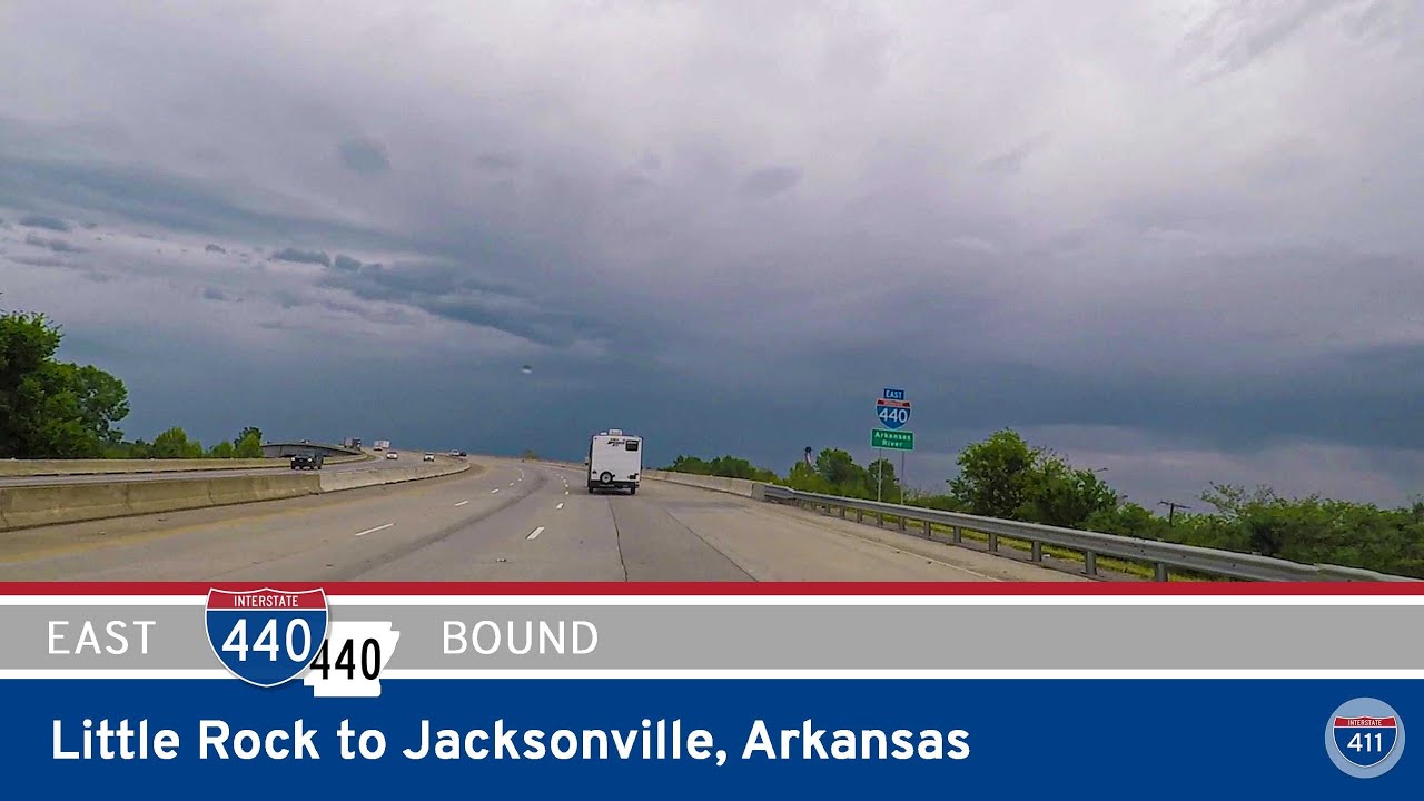
Drive America’s Highways with us as we travel 14 miles along one of central Arkansas’s most important bypasses — Interstate 440. This route provides a critical connection between Jacksonville and Little Rock, curving around the eastern edge of the metro area to offer truckers, commuters, and road-trippers an efficient way to skirt downtown congestion.
We begin our journey at the northern terminus of the East Belt Freeway, where I-440 merges with I-57 south in Jacksonville. Almost immediately, we pass the interchange with Arkansas Highway 161, a connector route serving industrial areas and suburban neighborhoods.
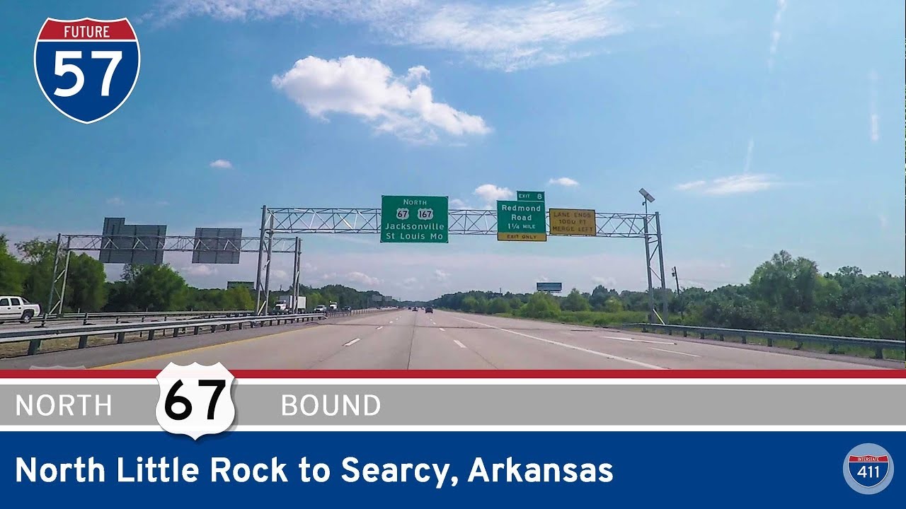
From here, the freeway crosses the interchange with Interstate 40. As we curve south, the route parallels the eastern edge of North Little Rock, offering a bumpy and heavily trafficked drive for much of the way. We pass exits for U.S. Highway 70 and Faulkner Lake Road, both serving rural areas and some regional truck routes, before encountering U.S. 165, which provides access to parts of North Little Rock and beyond.
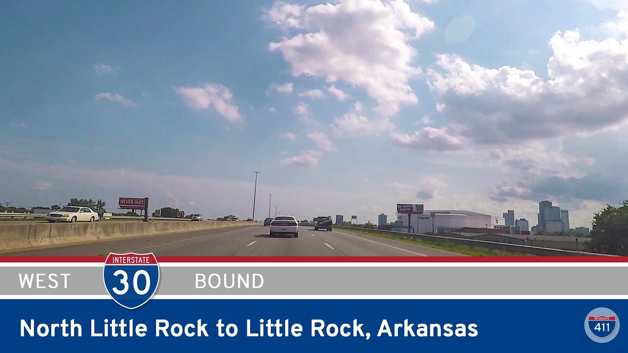
Crossing the Arkansas River, we officially enter Little Rock, where I-440 takes a turn westward. This portion of the route hugs the southern edge of the city and serves as a major access corridor for commercial vehicles, especially those bound for the Port of Little Rock or Clinton National Airport. We pass interchanges with Lindsey Road, Bankhead Drive, and the entrance to Little Rock National Airport, making this a busy and crucial segment for both cargo and travelers alike.
Soon, we reach Springer Boulevard (AR-365), a key connector for South Little Rock neighborhoods. The final stretch of our journey concludes at a large, complex spaghetti junction that marks the western end of I-440 — a sprawling interchange where I-440, I-30, and I-530 all meet. This junction gives travelers the option to head into downtown Little Rock via I-30 east, continue south toward Pine Bluff on I-530, or transition toward I-30 west.
While I-440 was designed primarily as a bypass, it’s far from boring. The river crossing and views of the wetlands, combined with the role it plays in connecting Little Rock’s major transportation hubs, make it a hidden gem for those interested in highway infrastructure. There’s also plenty to explore just off the route — from access to outdoor recreation near the river to the airport-adjacent amenities and the sprawling industrial parks it quietly supports.
🗺️ Route Map
0 Comments