Take a fast-paced ride through the ever-evolving Las Vegas valley as we head northbound along the freshly re-designated Interstate 11—formerly a segment of U.S. Route 95—between Lake Mead Boulevard and the Bruce Woodbury Beltway (Clark County 215). Though this video was recorded before the official I-11 upgrade, the infrastructure we travel tells the story of a city constantly transforming to keep pace with explosive growth and shifting priorities in regional transportation.
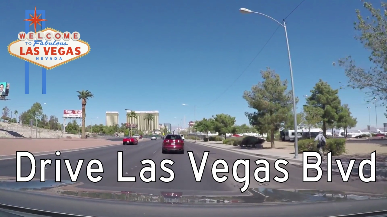
We begin our drive near the Lake Mead Boulevard interchange, just northwest of downtown Las Vegas. At this point in time, the road was signed solely as U.S. 95, but the stretch already bore many of the hallmarks of an Interstate-standard facility—wide lanes, modern ramps, and concrete barriers replacing aging medians. As we accelerate into traffic, we find ourselves in the heart of one of the fastest-growing urban corridors in the American Southwest. The surrounding landscape is a mix of suburban sprawl, low-slung commercial plazas, and the tan desert hues of Southern Nevada that persist even in the shadow of development.
As we cruise northward, the skyline of Las Vegas recedes into our rearview mirror and the built environment begins to reflect the outer-ring character of the metro—wide boulevards, newer residential subdivisions, and a surge of industrial parks. Major interchanges appear quickly: Cheyenne Avenue, then Craig Road, with connections into neighborhoods like North Las Vegas and further access to U.S. 95 heading toward Tonopah and the Great Basin. These exits serve more than just local traffic; they are lifelines for the logistics and freight corridors that stretch into rural Nevada and beyond.
Our journey wraps up at the critical junction with Clark County Route 215, better known as the Bruce Woodbury Beltway, which encircles the valley in a semi-complete loop. At the time of filming, this interchange represented the outer limits of I-11’s future expansion, but today it symbolizes the evolving gateway between metropolitan Las Vegas and the broader I-11 corridor that aims to eventually connect Phoenix to Reno. It’s also one of the first major urban projects in the U.S. where a local county—not a state DOT—took the reins in designing and building a freeway-grade facility, setting a precedent for future regional infrastructure development.
In just 5.6 miles, this short segment offers a vivid glimpse into both the past and the future of southern Nevada’s roadway system. From its U.S. Highway roots to its emerging identity as part of the Intermountain West’s next major north–south Interstate, this route showcases how transportation infrastructure adapts to economic shifts, urban pressure, and political vision. Whether you’re a Vegas commuter, a long-haul trucker, or a curious roadtripper, this stretch of I-11 is both a connector and a conversation starter in the larger story of western mobility.
🗺️ Route Map
0 Comments