![Blue Ridge Parkway: Cherokee to Asheville - North Carolina | Real Roads, Real Drives [Repost]](https://openroadarchive.com/wp-content/cache/flying-press/045d29b4e5e717d8b80c379946cc7ede.jpg)
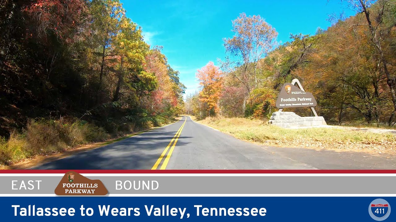
Take a scenic ride along one of America’s most beloved mountain roads as we follow the Blue Ridge Parkway from Cherokee to Asheville — a 75-mile journey that rises out of the Smokies and into the high ridges of western North Carolina. This is a stretch where the mountains feel close enough to touch, where every mile seems to reveal a new fold of forested peaks, and where the pace of travel naturally slows as we climb into the sky. Beginning at the southern terminus of the parkway near Cherokee, we ease away from the bustle of US-441 and slip into the quiet rhythm of this protected corridor. The transition is instant — the sounds soften, the air cools, and the surrounding hills rise in gentle blue layers, setting the tone for the miles ahead.
As we head north, the parkway begins a steady ascent along sweeping curves that follow the contours of the land. Early overlooks open views toward the Great Smoky Mountains National Park, letting us see where we’ve just come from — deep, rugged valleys blanketed in hardwood forests that shift color with the seasons. We pass rustic stone tunnels carved through the mountainsides, each one momentarily framing the road ahead like a window into another world. Pullouts appear with regularity, offering glimpses into the Tuckasegee River valley and the distant Balsam Mountains. Even without stopping, we feel the elevation building as the air grows cooler and the vegetation begins to change.
Farther along, the landscape opens into the broad, windswept expanse of Graveyard Fields, one of the Parkway’s most beloved destinations. Here, high-elevation meadows stretch across a bowl-shaped valley scarred long ago by fires and logging. The name hints at the jagged stumps that once dotted the area like old headstones, but today the valley thrives with blueberry bushes, spruce, and grassy slopes. Water from the surrounding ridges tumbles into Upper and Lower Falls, creating a cool mountain rush that draws hikers throughout the warmer months. Even from the overlook, we can sense the wildness embedded in this plateau, a reminder of how resilient these mountains are.
Pressing onward, the Parkway climbs again toward Devil’s Courthouse, a dramatic quartzite dome that towers over the roadway. Pulling into the overlook, we’re met with one of the most striking panoramas on this drive — a sweeping, near-360° view that reaches into four states on a clear day. The mountain itself carries Cherokee cultural meaning, and its cliffs shelter rare alpine plants found nowhere else in the region. From here, the Blue Ridge feels endless: rolling peaks fade into softer blues as they stretch toward the horizon, each ridge giving way to the next like waves frozen in time. As we return to the pavement, the Parkway carries us along the top spine of the range, offering glimpses of Mount Mitchell — the highest point east of the Mississippi — rising to the north like a quiet sentinel.
In the final miles approaching Asheville, the parkway begins a gentle descent through dense stands of spruce, oak, and rhododendron. The road arcs gracefully across slopes dotted with small rock outcrops and shady coves, gradually funneling us toward the outskirts of the city. The air warms again, the views tighten, and civilization slowly reappears through the gaps in the trees. Yet even as we near Asheville, the Parkway holds onto its meditative feel — a reminder that this road was built not for speed, but for savoring. After more than 75 miles of ridgelines, forests, and timeless mountain vistas, we roll into Asheville with a deeper appreciation for the landscapes that define western North Carolina.
The Cherokee-to-Asheville stretch of the Blue Ridge Parkway is more than a route — it’s an immersion into the rhythm of the mountains. However long the drive takes, it never feels rushed; every overlook, every bend in the road invites a moment of reflection. It’s a classic American journey precisely because it asks us to slow down, breathe deeply, and let the mountains do what they do best: remind us how beautiful the world can be when experienced at the right pace.
❎ Junctions:
JCT US-19 21:48
JCT US-74 37:15
JCT NC-215 1:10:18
JCT US-276 1:29:29
JCT NC-181 1:40:02
💡 Tunnels:
Sherill Cove Tunnel 5:50
Rattlesnake Mountain Tunnel 6:45
Bunches Bald Tunnel 16:50
Lickstone Ridge Tunnel 17:42
Pinnacle Ridge Tunnel 43:25
Devil’s Courthouse Tunnel 1:12:04
Frying Pan Tunnel 1:32:17
Buck Spring Tunnel 1:37:16
Little Pisgah Ridge Tunnel 1:37:56
Fork Mountain Tunnel 1:42:19
Young Pisgah Ridge Tunnel 1:43:49
Ferrin Knob Tunnel #3 1:46:14
Ferrin Knob Tunnel #2 1:46:26
Ferrin Knob Tunnel #1 1:47:09
Pine Mountain Tunnel – Longest Tunnel on the Parkway 1:49:26
Grassy Knob Tunnel 1:52:31
🌄 Overlooks:
View Oconaluftee River 1:55
View Raven Fork 2:46
View Ballhoot Scar 3:50
Thomas Divide Overlook 9:36
Big Witch Overlook 13:00
Big Witch Tunnel 14:03
Jenkins Ridge Overlook 14:40
Bunches Bald Overlook 16:38
Lickstone Ridge Overlook 17:33
Plott Balsam Overlook 18:57
Jonathan Creek Overlook 21:17
Soco Gap Overlook 22:09
Fed Cove Overlook 22:43
Thunder Struck Ridge Overlook 22:54
Camera Error/Waterrock Knob 24:48
Yellow Face Overlook 26:24
Fox Ridge Overlook 29:05
Scott Creek Overlook 30:11
Wesner Bald Overlook 30:54
Woodfin Cascades Overlook 32:33
Woodfin Valley Overlook 33:36
Mt. Lynn Lowry Overlook 34:47
The Orchards Overlook 35:49
Balsam Gap Overlook 39:19
Rabb Knob Overlook 39:50
Standing Rock Overlook 40:43
View Waynesville 41:35
View Village of Saunook 42:53
Cove Field Ridge Overlook 44:10
View Steestachee Bald 44:55
Grassy Ridge Mine Overlook 48:35
Licklog Gap Overlook 50:02
View Doubletop Mountain 51:10
Roy Taylor Forest Overlook 54:09
Lone Bald Overlook 55:10
Richland Balsam Overlook – Highest Point on the Parkway 57:15
Haywood-Jackson Overlook 57:54
Cowee Mountains Overlook 58:22
Beartrail Ridge Overlook 58:51
Beartrap Gap Overlook 1:01:54
Caney Fork Overlook 1:02:45
SPot Knob Overlook 1:03:03
Unnamed Overlook 1:03:23
Rough Butt Bald Overlook 1:06:59
Wolf Mountain Overlook 1:08:07
Herrin Knob Overlook 1:08:37
Courthouse Valley Overlook 1:09:52
View Mt. Hardy 1:11:05
View Devil’s Courthouse 1:11:40
Fetterbush Overlook 1:12:55
View John Rock Overlook 1:16:44
Graveyard Fields Overlook 1:17:42
East Fork Overlook 1:18:29
Looking Glass Rock Overlook 1:2046
Log Hollow Overlook 1:21:57
View Cherry Cove 1:22:58
Pounding Mill Overlook 1:27:09
Wagon Road Gap Overlook 1:28:51
Cold Mountain Overlook 1:29:21
Cradle of Forestry Overlook 1:30:49
View Pink Beds Overlook 1:31:54
View Funnel Top 1:33:45
Mount Pisgah 1:35:20
Mount Pisgah Overlook 1:35:36
Mills River Valley Overlook 1:41:25
View Hominy Valley 1:41:57
Big Ridge Overlook 1:43:01
View Stony Bald 1:44:34
Beaver Dam Gap Overlook 1:45:57
Unnamed Overlook 1:46:59
Bad Fork Valley Overlook 1:48:49
View Chestnut Cove 1:50:51
Sleepy Gap Parking Area 1:52:00
Walnut Cove Overlook 1:53:39
French Broad Overlook 1:57:45
🎵 Music: Track List
– All new soundtrack by the Open Road Collective, inspired by the Blue Ridge Parkway

![[Revisited] Natchez Trace Parkway: Northbound through Tupelo – Mississippi](https://openroadarchive.com/wp-content/uploads/2025/06/5wd8xrx2zeimaxresdefault.jpg)
0 Comments