Take a sun-soaked drive through California’s High Desert as we head north along Interstate 15 from San Bernardino to Barstow. This 53-mile stretch traverses a vital corridor of commerce, history, and stark desert beauty—linking the Inland Empire to the gateway of the Mojave. Our journey begins just north of downtown San Bernardino as we merge onto I-15 from Interstate 215, quickly leaving behind the palm-lined streets and urban bustle of the valley below.
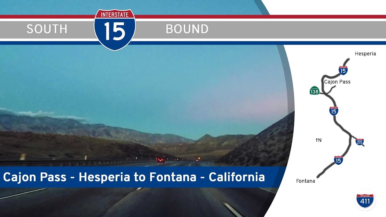
From the outset, we begin a gradual ascent through the Cajon Pass, one of Southern California’s most critical mountain corridors. The grade steepens as we hug the eastern slope of the San Gabriel Mountains, the freeway winding through rock cuts and rail lines that echo the path of the old Santa Fe and Union Pacific tracks. This pass has long served as a lifeline for travelers and freight alike, connecting Southern California to the rest of the West. The landscape here is rugged, dotted with scrub brush and shaped by tectonic forces—the infamous San Andreas Fault runs nearby. As we crest the pass near the community of Cajon Junction, the high desert opens before us in sweeping fashion, revealing the scattered rooftops of Hesperia and the Victor Valley beyond.
Descending into Hesperia, the terrain flattens and the freeway widens. Here, suburban development sprawls across the desert floor in long, low grids broken up by sand washes and Joshua trees. We pass under Ranchero Road and Main Street, the latter serving as the gateway to Hesperia proper. Soon after, we skirt the edge of Victorville, a city whose growth mirrors the story of the freeway—built on mobility, logistics, and the dream of accessible space. The Victor Valley’s role as a high-desert suburb is clear from the commercial zones hugging the interchanges and the mix of chain restaurants, gas stations, and shopping centers. Signs for Apple Valley point east, but we stay on I-15 north, following the corridor that’s been a route of migration for generations—from wagon trains to Route 66 to modern road-trippers.
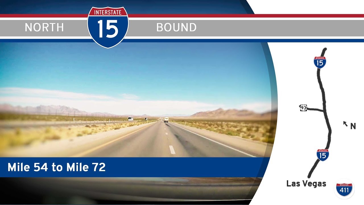
As we pass Adelanto and the last major exit in Victorville, the development begins to thin, giving way to open desert punctuated by the occasional roadside business or faded billboard. The Mojave’s vastness now surrounds us, with the brown ridges of the Ord Mountains to the east and the gray-blue silhouettes of the Calico Mountains far ahead. This part of the drive is meditative, broken only by the glint of distant solar farms and the long freight trains paralleling the highway to the west. The air seems clearer here, the horizon wider, and the sense of isolation more pronounced.
Approaching Barstow, civilization gradually reappears—at first a trickle of industrial yards and truck stops, then a burst of freeway signs announcing a web of connections: Interstate 40 east to Needles and Arizona, and California 58 west toward Bakersfield. We end our journey at Exit 178, the first Barstow offramp, pulling off for a fuel stop beneath the desert sun. The town, once a crucial watering hole along Route 66, still serves as a critical waystation for travelers crossing the Mojave. It’s a place where the past and present of American road culture meet—trucks, trains, and tales of the open road all converging at this high-desert crossroads.
🗺️ Route Map
0 Comments