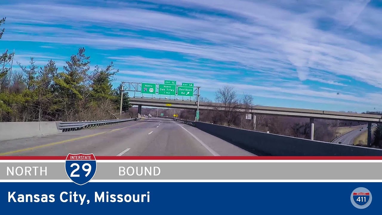
Take a ride through the rolling heartland of northwest Missouri as we follow Interstate 29 from the outskirts of historic St. Joseph to the northern edge of downtown Kansas City. This 45-mile stretch offers a blend of rural charm, suburban expansion, and the gradual rise of one of the Midwest’s most iconic skylines. Along the way, we trace the path of the Missouri River basin, dip in and out of river valleys, and witness the transformation from open farmland to bustling urban interchanges.
We begin our journey just south of St. Joseph, merging onto I-29 from Interstate 229. St. Joseph itself is a city with deep historical roots—once a key stop for westward-bound pioneers and the eastern terminus of the Pony Express. As we depart its southern edge, the terrain quickly opens into broad agricultural lands, dotted with grain silos and windbreak trees. For the first 20 miles or so, I-29 holds steady on a due south course, hugging the natural contours of the land as we cruise past sleepy crossroads and glimpses of farm life. Around Faucett and Dearborn, the land gently undulates, the interstate running almost arrow-straight through the patchwork of fields and treelines.
Approaching Platte City, we begin to sense the influence of the Kansas City metro. Traffic picks up slightly, and the once-rural interchanges give way to connections with MO-273 and MO-92—both important feeders for the growing suburban sprawl of Platte County. As we skirt the edge of Platte City, I-29 subtly shifts southeast, signaling our approach into true metro territory. The landscape transitions: housing developments appear on either side, commercial plazas peek out from the interchanges, and directional signs for Kansas City International Airport begin to pepper the roadside.
Just past the junction with I-435, we cross the main route serving the airport, with exit signs pointing toward KCI Airport—a major transportation hub for the region. This interchange also marks a functional fork in the road, as travelers can choose to loop around the metro area via I-435 or continue straight into the heart of the city on I-29. We continue south, entering Platte Woods and nearby Parkville suburbs. The tree cover grows thicker here, a blend of forested creeks and landscaped neighborhoods, while interchanges with MO-152 and MO-45 serve communities on the western edge of the city. Traffic flow here becomes busier and more dynamic, reflecting the growing convergence of commuter routes.
Passing through Houston Lake, we soon hit the I-635 interchange, a loop route that circles around the west side of the metro. This interchange is a gateway of sorts: as we cross it, we officially enter Kansas City proper. The urban grid becomes visible beyond the highway barriers, with a mix of older neighborhoods and light industry marking our entry into the Northland. In quick succession, we pass major interchanges with US-169 and US-69, both of which offer direct routes into downtown or across the Missouri River. The skyline of downtown Kansas City begins to tease in the distance, rising steadily as we approach the city’s core.
Our final stretch takes us through the interchange with Interstate 35—where I-29 and I-35 combine briefly—before we exit at MO-210, also known as Armour Road, in North Kansas City. This area serves as a transition zone between the historic industrial riverfront and the revitalized neighborhoods of North Kansas City, a community in its own right with breweries, tech startups, and one of the most walkable cores in the KC metro.
This drive from St. Joseph to Kansas City is more than just a connector between two cities—it’s a study in Missouri’s gradual evolution from open countryside to metropolitan complexity. Each curve and merge tells a story of growth, movement, and the increasingly fluid line between rural roots and urban reach. Whether you’re headed into the city for work, catching a flight, or just chasing the horizon, this stretch of I-29 offers a front-row seat to the region’s heartbeat.
This video was originally produced in collaboration with CrossCounty Travelers, a now-retired travel group.
🗺️ Route Map
0 Comments