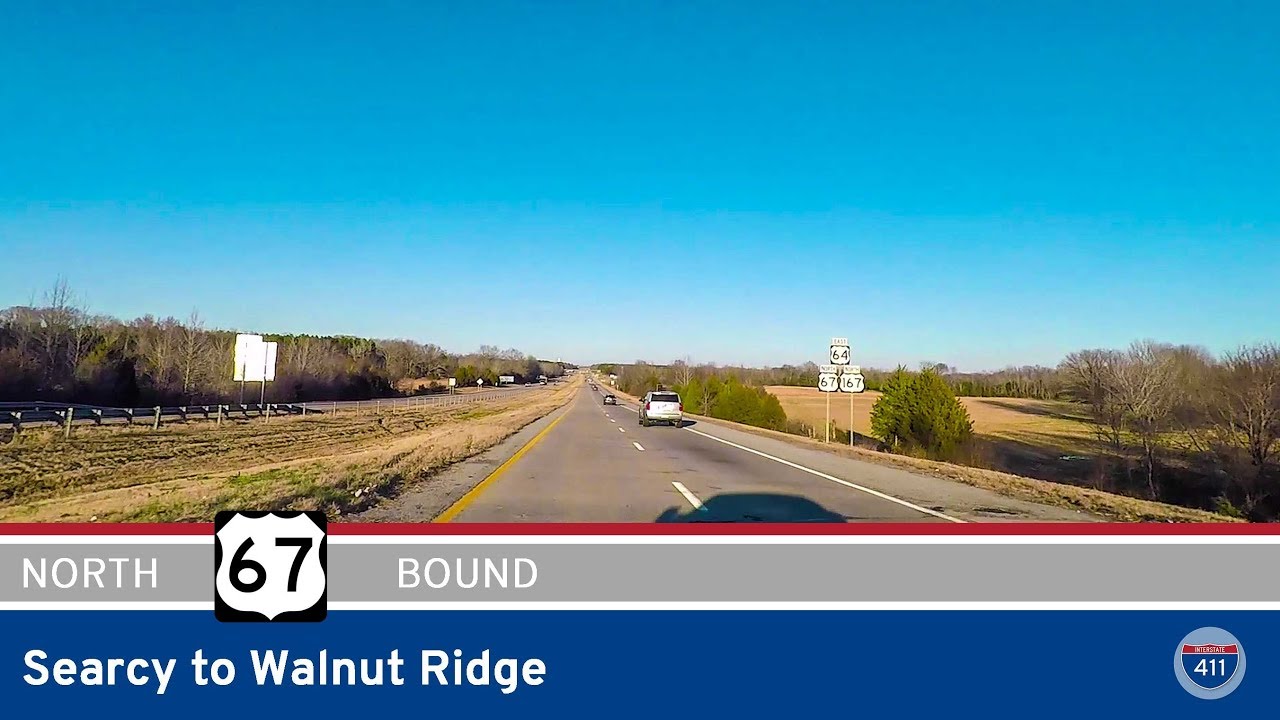
Join us as we head north for 44 miles along what is now signed as Interstate 57 — formerly U.S. Highway 67 — from North Little Rock to Searcy, Arkansas. Although this footage was filmed prior to the official Interstate 57 signage rollout, it follows the current path designated as the future corridor of I-57 in central Arkansas, cutting through Pulaski, Lonoke, and White counties.
Our journey begins at the busy interchange between Interstate 40 and U.S. Highway 67 on the north side of North Little Rock. This is a significant junction, as I-40 carries coast-to-coast traffic between California and North Carolina, while US-67/I-57 now serves as a primary north-south connector toward northeast Arkansas and the Missouri border. Almost immediately, we pass the McCain Boulevard exit — a key access point for dining, shopping, and the McCain Mall area in the heart of northern Pulaski County.
Entering Sherwood, we pass the interchange with Arkansas Highway 440/Interstate 440 (the North Belt Freeway), which loops traffic around the eastern edge of the Little Rock metro area. Soon after, the route takes us into Jacksonville, home to the Little Rock Air Force Base. Here, we roll past the interchanges with Vandenberg Boulevard and AR-161, both critical to base operations and local commuter access.
As we leave the Pulaski County line and enter Lonoke County, the landscape shifts subtly to reflect a more suburban feel. In Cabot — one of Arkansas’s fastest-growing cities — we encounter the interchanges for Arkansas Highway 5 and 321, offering routes north toward Heber Springs and east to Mount Carmel. Continuing north, we pass AR-89, which arcs back into the heart of Cabot’s older downtown.
Not long after, we cross a newer interchange with Arkansas Highway 38, just before the route grazes the city limits of Austin and Ward. These communities mark the beginning of a more rural corridor, transitioning from dense suburbs to farmland and small-town Arkansas. As we approach Beebe, the route picks up US-64, joining into a multiplex that will remain intact through Searcy and beyond. At Beebe, we cross a major interchange with US-64 (Main Street), and this area marks a good pit stop if you’re looking for food or fuel.
Continuing northeast, the drive remains fast and wide open — this section of the highway has been upgraded to full freeway standards, with minimal interruptions and higher speeds. Near McRae, we encounter an interchange with Arkansas Highway 13, which serves as the modern Searcy Bypass, diverting traffic around the western edge of the city. Just a few more miles and we hit Arkansas Highway 11, officially entering the greater Searcy area.
Our journey concludes as we exit at Arkansas Highway 36 — also known locally as the Beebe Capps Expressway. This thoroughfare leads directly into Searcy’s commercial center, including Harding University, several medical facilities, and a wide range of shopping and dining options.
This entire stretch has recently been designated as part of Interstate 57, connecting North Little Rock all the way to Walnut Ridge and eventually to the Missouri state line. The corridor has been steadily upgraded over the years and now meets full interstate standards — a testament to Arkansas’s commitment to modernizing its roadways for future growth and freight efficiency.
🗺️ Route Map
0 Comments