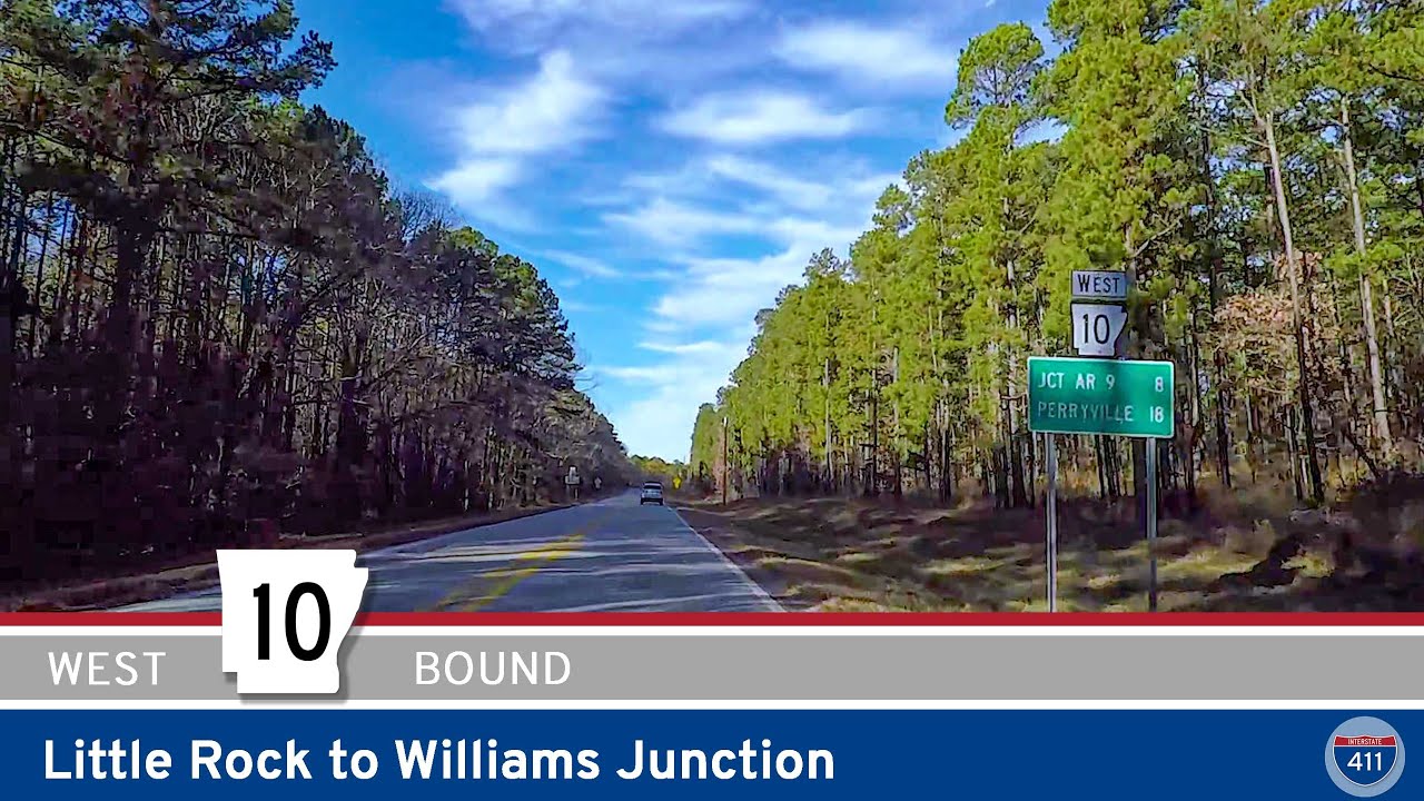
Take a ride with us through the heart of the Ouachita foothills as we travel 14 peaceful miles west along Arkansas Highway 10, starting at Williams Junction and ending in the quiet community of Perry.
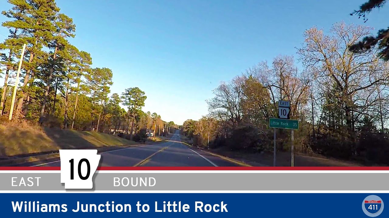
We kick off this drive in Williams Junction, a small crossroads about 20 miles west of Little Rock where Arkansas Highway 9 and Arkansas Highway 10 run side by side for a short stretch. Turning north onto this combined route, we quickly ease into rolling, wooded terrain that hints at the larger hills to come. Just a mile or so up the road, we reach the intersection with Arkansas Highway 324 — a local connector that branches off to the west toward beautiful Lake Sylvia and the surrounding recreation area. If you’ve got time to spare, AR-324 is worth the side trip: it winds through dense forest and provides easy access to Lake Sylvia’s clear waters, picnic sites, and shady hiking trails, all now cared for by Arkansas State Parks.
Back on Highway 10, we continue heading generally north and slightly west, the pavement curling gently around the folds of the Ouachita foothills. Before long, we roll into the tiny community of Thornburg — really just a scatter of homes and family farms tucked between wooded ridges. Thornburg is one of those blink-and-you’ll-miss-it Arkansas spots, but its old barns and shady hollows feel timeless, especially when the leaves turn red and gold in the fall.
Leaving Thornburg behind, we press deeper into the hills, where Highway 10 shows off its best curves and gentle climbs. The tree canopy often stretches right over the road here, offering a cool, shaded tunnel in summer and dramatic leaf shows in October and November. This stretch is exactly what a backroad drive should be: peaceful, lightly traveled, and full of little surprises around each bend.
A highlight along this route is the crossing of the Fouche La Fave River — a tranquil waterway flowing through the thick forest. Slow down as you approach the bridge; it’s a good spot to catch sight of deer or water birds, and in spring the banks burst with wildflowers. The river crossing marks the start of the transition from deep woods back to more settled areas.
From here, we roll into Perryville, the county seat of Perry County and a small hub for folks living out in this rural corner of Arkansas. In Perryville, Arkansas Highway 10 overlaps briefly with Arkansas Highway 60, creating a short concurrency through the center of town. It’s worth pulling off for a few minutes to stroll around the courthouse square or to grab a snack at one of the local markets.
Leaving Perryville behind, we continue on Highway 10, climbing gradually over a low ridge that hints at the larger Ouachita mountains to the west. The road here feels pleasantly remote: it winds through thick stands of hardwood, past occasional rock outcrops and glimpses of wide valleys below. On a quiet afternoon, you might have this stretch nearly to yourself.
Soon enough, the landscape opens up again as we descend gently into the community of Perry. This tiny town sits in a clearing surrounded by open fields and scattered farmhouses, marking the end of our journey for this drive. We wrap things up by turning westbound (left) to stay on Arkansas Highway 10 — a route that continues to wind its way into the deeper Ouachitas and beyond.
This short but rewarding piece of Highway 10 is a wonderful sample of central Arkansas backroad driving: shady hills, clear rivers, hidden recreation spots like Lake Sylvia, and small towns that still keep a slower pace. For anyone craving a peaceful Sunday ride or a quick nature break not far from Little Rock, this stretch delivers.
🎵 Music:
Lazy Day by Audionautix is licensed under a Creative Commons Attribution 4.0 license. https://creativecommons.org/licenses/by/4.0/
Artist: http://audionautix.com/
🗺️ Route Map
0 Comments